
Sovereign state United Kingdom Postcode district WR2 Local time Friday 2:32 PM | Post town Worcester | |
 | ||
Weather 13°C, Wind S at 13 km/h, 79% Humidity | ||
Grimley is a village and civil parish (grid reference SO8360) in the Malvern Hills District in the county of Worcestershire, England about 3 miles (4.8 km) north of Worcester.
Contents
Map of Grimley, Worcester, UK
The place-name 'Grimley' is first attested in a Saxon charter of 851, where it appears as Grimanlea. In the Domesday Book of 1086 it appears as Grimanleh. The name means 'wood haunted by a ghost or spectre' (Old English grima).
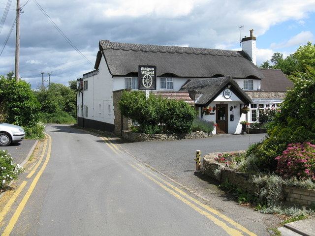
It is known for the Norman Parish Church; St Bartholomew. A la Carte Restaurant; Wagon Wheel. A 16th-century Inn; The Camp House Inn. Bevere Lock. Primary School. Grimley Gravel Pits (or -Pools), a gravel quarry and nature reserve SSSI. It once housed a monastery which was reputedly linked to Holt Castle via underground tunnels, and has been a site of refuge for thousands of years.
Following the Poor Law Amendment Act 1834, Grimley Parish ceased to be responsible for maintaining the poor in its parish. This responsibility was transferred to Martley Poor Law Union.