
County Somerset Named for Griggs family Elevation 31 m Local time Friday 8:41 AM | State New Jersey Time zone Eastern (EST) (UTC-5) Area 6.524 km² Added to NRHP 2 August 1984 | |
 | ||
Weather 1°C, Wind N at 10 km/h, 97% Humidity | ||
Griggstown is an unincorporated community and census-designated place (CDP) located within Franklin Township, in Somerset County, New Jersey, United States. As of the 2010 United States Census, the CDP's population was 819. The area was first settled around 1733.
Contents
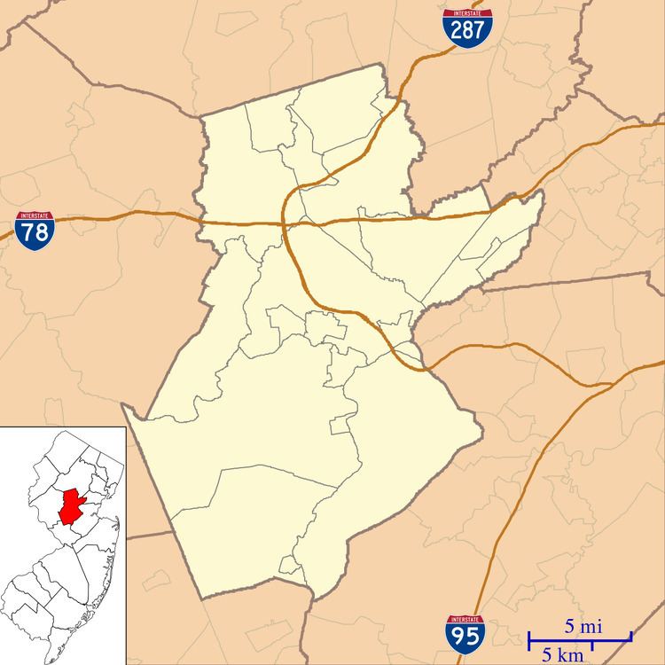
- Map of Griggstown Franklin Township NJ 08540 USA
- History
- Geography
- Selected sites
- Census 2010
- National Register of Historic Places
- Notable people
- References
Map of Griggstown, Franklin Township, NJ 08540, USA
History
Many of the earliest European settlers of the area came from Gravesend, Brooklyn. Among these settlers were four sons born to John and Elizabeth Griggs: Benjamin (b. 1690), Daniel, Samuel, and Thomas. Griggstown was named after Benjamin Griggs, who established a grist mill on the Millstone River that served as a meeting place for the European farmers of the area and as such the center of the community that would become Griggstown.
Geography
According to the United States Census Bureau, the CDP had a total area of 2.519 square miles (6.524 km2), including 2.447 square miles (6.338 km2) of land and 0.072 square miles (0.187 km2) of water (2.86%).
Griggstown is adjacent to the communities of Kingston, Rocky Hill, Montgomery Township, Kendall Park (in South Brunswick Township), and Franklin Park. The closest city of note is Princeton, New Jersey. The Millstone River and the Delaware and Raritan Canal both flow through Griggstown.
Griggstown is accessible via Route 27 (Lincoln Highway), County Route 518 and U.S. Route 206. The major roads in Griggstown are Bunker Hill Road and Canal Road. There is also a small access road with a one-lane bridge(at one time referred to as "twin bridges") known as the Griggstown Causeway that offers access to and from Griggstown as well. The D&R Canal State Park is located on this road in conjunction with the canal side tow-path.
Selected sites
Census 2010
The 2010 United States Census counted 819 people, 346 households, and 230.1 families residing in the CDP. The population density was 334.7 per square mile (129.2/km2). The CDP contained 364 housing units at an average density of 148.8 per square mile (57.5/km2). The racial makeup of the CDP was 86.81% (711) White, 2.81% (23) Black or African American, 0.24% (2) Native American, 4.03% (33) Asian, 0.00% (0) Pacific Islander, 2.56% (21) from other races, and 3.54% (29) from two or more races. Hispanics or Latinos of any race were 6.23% (51) of the population.
Out of a total of 346 households, 25.7% had children under the age of 18 living with them, 57.2% were married couples living together, 6.6% had a female householder with no husband present, and 33.5% were non-families. 27.2% of all households were made up of individuals, and 11.6% had someone living alone who was 65 years of age or older. The average household size was 2.36 and the average family size was 2.92.
In the CDP, 18.1% of the population were under the age of 18, 4.6% from 18 to 24, 27.5% from 25 to 44, 32.4% from 45 to 64, and 17.5% who were 65 years of age or older. The median age was 44.9 years. For every 100 females the census counted 101.7 males, but for 100 females at least 18 years old, it was 101.5 males.
National Register of Historic Places
The Griggstown Historic District was added to the National Register of Historic Places in 1984. It is District #84002798.
Notable people
People who were born in, residents of, or otherwise closely associated with Griggstown include: