
Elevation 96 m (315 ft) Area 21.41 km² Population 26,046 (30 Jun 2009) | Time zone CET/CEST (UTC+1/+2) Postal code 64347 Local time Friday 2:00 PM | |
 | ||
Weather 12°C, Wind W at 6 km/h, 47% Humidity | ||
Griesheim is a town in the Darmstadt-Dieburg district, in Hesse, Germany. It is situated directly west of Darmstadt.
Contents
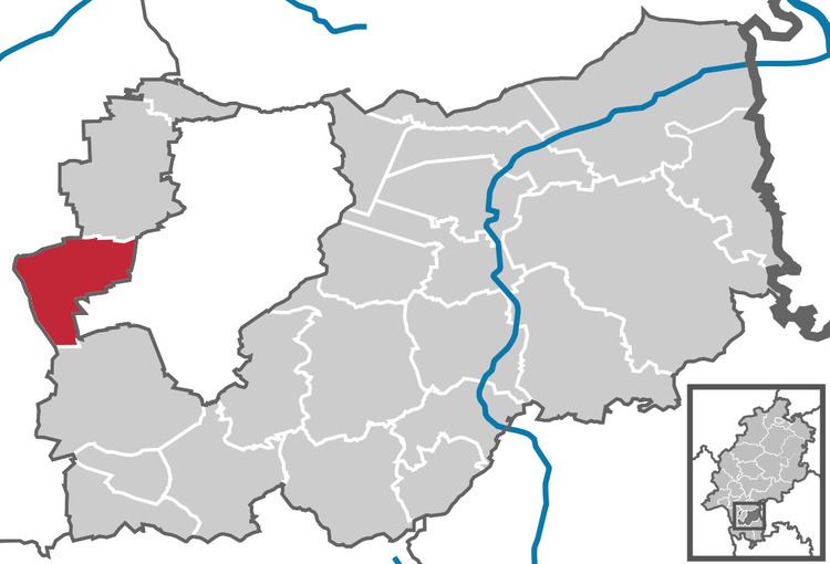
Map of 64347 Griesheim, Germany
History
The area of Griesheim has been inhabited since around 4500 BCE but the town only appears in documentation for the first time in 1165. An important source of income Griesheim was the wine in earlier times.
The Thirty Year War hit Griesheim hard. The surviving inhabitants fled behind the walls of the Darmstadt, where many of them died of the plague. By the end of the war in 1648 only about 370 were left, who set out to rebuild the community.
The late 18th, early 19th Century a major industry was the production and trade of fir tree seeds. The city also became a center of woodwork-craft.
The Protestant Reformation was introduced to the town in 1529. In 1874 in the southwest part of Griesheim an artillery range opened. In 1908 August Euler opened one of the first airfields in Germany. Griesheim was occupied by France from 1918 to 1930. During World War II, 65% of its buildings were destroyed, and after the war it housed some 4000 refugees. After successful reconstruction, Griesheim on 12 September 1965 was granted township rights by the Hessian state government. Farming is still an important part of the city. Griesheim has a city museum to remember its pasts and its St. Stephen in connection. The Griesheim museum has archaeological finds.
Since 1977 a festival is held, "Griesheim Week" in onion market in Griesheim . Festival takes place in Griesheim city center between Wagenhalle and Hans-Karl-place on the last or next to last weekend of September.
The area of Griesheim has belonged to the following in the past:
Trams
Tram Lines 9 and 4 run between Griesheim and Darmstadt. The central nodal point of the Darmstadt tramway network is the Luisenplatz in the city center of Darmstadt. Bus lines 45 and 46 go from Griesheim to Riedstadt, Groß-Gerau and Trebur.
Roads
The main road passing west-east is the Bundesstraße 26, or B26. Griesheim is situated just west of the Bundesautobahn 5 and Bundesautobahn 67 west of the Autobahn-interchange Darmstädter Kreuz (Darmstadt Cross).