
Population 1,229 (2001 Census) Postcode district BT Province Ulster | Sovereign state United Kingdom Local time Friday 12:13 PM Dialling code 028 | |
 | ||
Weather 13°C, Wind S at 21 km/h, 81% Humidity | ||
Greysteel or Gresteel is a village in County Londonderry, Northern Ireland. It lies 9 miles (14 km) to the east of Derry and 7 miles (11 km) to the west of Limavady on the main A2 coast road between Limavady and Derry, overlooking Lough Foyle. It is designated as a Large Village and in the 2001 Census it had a population of 1,229 people, an increase of almost 20% compared to 1991. It is situated within Causeway Coast and Glens district.
Contents
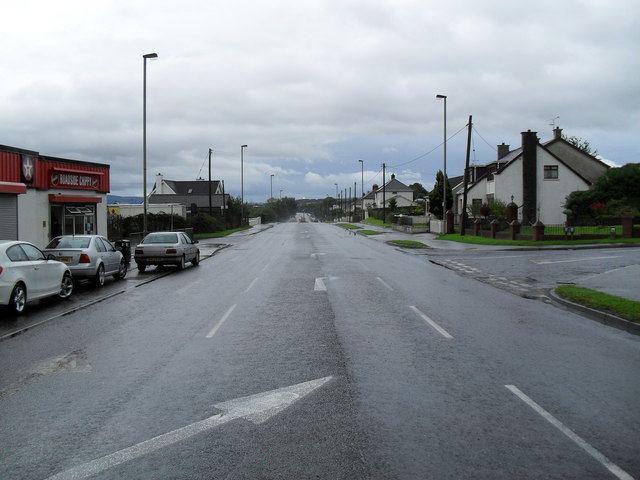
Map of Greysteel, Londonderry, UK
History
The village lies mostly within the townlands of Gresteel More and Gresteel Beg. The name "Greysteel" may be a part-translation of the Irish Glas-stiall, meaning "grey strip (of land)", and the Placenames Database of Ireland gives this as the Irish name of the village. An older English name for the area was "Glasteele".
During the Troubles, nine people were killed in the Greysteel area:
Features
Until relatively recently, the village had limited local facilities, with a modest sized general shop, a few other retail units, a primary school, a Gaelic club with playing fields and several public houses. However, the recent construction of the Vale Centre, developed by Greysteel Community Enterprise, a local development group, includes a range of commercial/industrial units and playing fields and has improved the situation. A range of activities is available in the Centre, including an after school club, adult learning centre and sports facilities. Commercial facilities in the Centre, provide an opportunity for small business start-ups and a further 10 units are currently under construction. The village has grown considerably during the Post War period, mostly through new public sector housing up to the 1970s, and subsequently through considerable private housing development.
Places of interest
Transport
The village is adequately served in terms of public transport and City of Derry Airport is located 4 km to the west.
Sport
2001 Census
Greysteel is classified as a village by the NI Statistics and Research Agency (NISRA) (i.e. with a population between 1,000 and 2,250 people). On Census day (29 April 2001) there were 1,229 people living in Greysteel. Of these:
For more details see: NI Neighbourhood Information Service