
OS grid reference NB490425 Post town ISLE OF LEWIS Dialling code 01851 | Lieutenancy area Western Isles Sovereign state United Kingdom Local time Friday 8:42 AM | |
 | ||
Weather 7°C, Wind SE at 19 km/h, 82% Humidity | ||
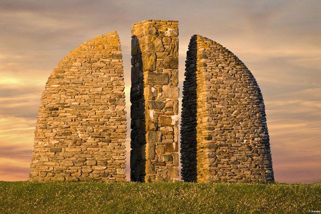
Gress (Scottish Gaelic: Griais), a thriving hamlet on the Isle of Lewis in Scotland, is adjacent to the larger village of Back. Gress is within the parish of Stornoway. Between 1919 and 1921, Gress - along with nearby Coll, Lewis and Tong - was the scene of several land raids.
Contents
Map of Gress, Isle of Lewis, UK
Historical sites
The corn mill at Gress was built in the 19th century and used until the early 20th century. The two-storey building is in a state of ruin. There is a millstone still present.
Geography and geology
Gress is situated on the B895, between Stornoway and North Tolsta.
Nature
The moorland to the north of Gress is a breeding site for Arctic and great skua in the summer. The Iceland gull and the brent goose can be seen at Gress. The garden tiger moth has also been seen at Gress.
References
Gress Wikipedia(Text) CC BY-SA