
Time zone CET/CEST (UTC+1/+2) Area 10.16 km² Population 718 (31 Dec 2008) Dialling code 02671 | Elevation 420 m (1,380 ft) Postal codes 56814 Local time Friday 8:31 AM Postal code 56814 | |
 | ||
Weather 3°C, Wind N at 5 km/h, 78% Humidity | ||
Greimersburg is an Ortsgemeinde – a municipality belonging to a Verbandsgemeinde, a kind of collective municipality – in the Cochem-Zell district in Rhineland-Palatinate, Germany. It belongs to the Verbandsgemeinde of Cochem, whose seat is in the like-named town.
Contents
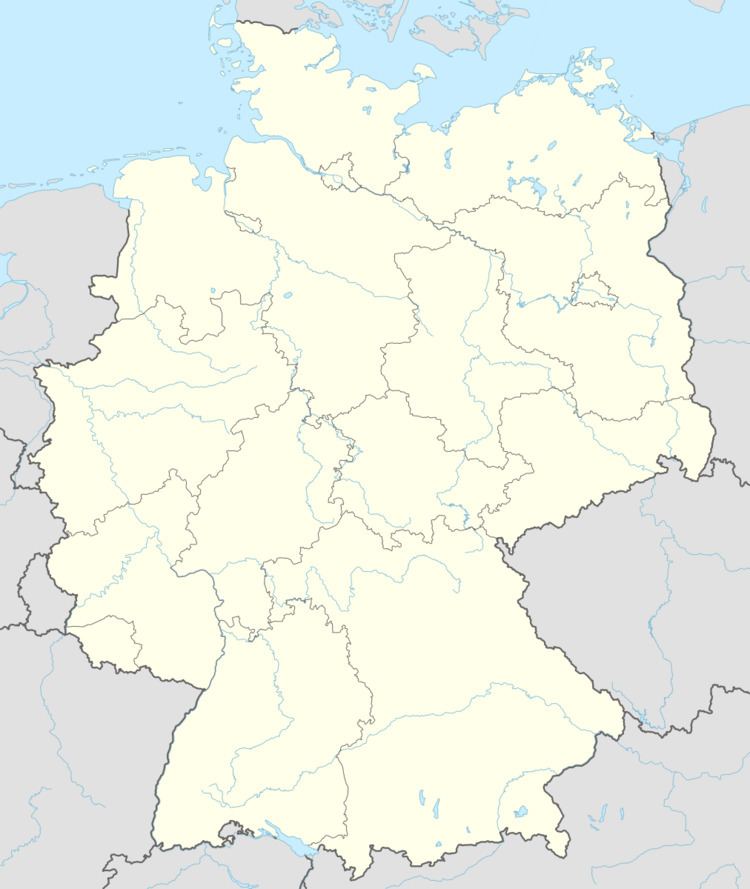
- Map of Greimersburg Germany
- Location
- History
- Religion
- Municipal council
- Mayor
- Coat of arms
- Buildings
- Natural monuments
- References
Map of Greimersburg, Germany
Location
The municipality lies in the Eifel between Trier and Koblenz near the towns of Cochem on the Moselle and Kaisersesch.
History
In the 7th century, Greimersburg had its first documentary mention as one of Frankish ruler Pepin the Elder’s holdings. Electoral-Trier overlordship was swept away in 1794 by the French Revolutionary occupation. In 1815 Greimersburg was assigned to the Kingdom of Prussia at the Congress of Vienna. Since 1946, it has been part of the then newly founded state of Rhineland-Palatinate.
Religion
Until 1728, Greimersburg was assigned to the Catholic parish of Klotten. Today it forms a parish together with Landkern.
Municipal council
The council is made up of 12 council members, who were elected at the municipal election held on 7 June 2009, and the honorary mayor as chairman.
The municipal election held on 7 June 2009 yielded the following results:
Mayor
Greimersburg’s mayor is Hans-Werner Junglas, elected in 2012. He inherites Paul Lauxen who hold this position since 2001.
Coat of arms
The German blazon reads: In Silber, ein durchgehendes rotes Kreuz belegt mit einem schwarzen Schild, darin ein goldener Kreuzstab mit daran hängenden silbernen Glöckchen.
The municipality’s arms might in English heraldic language be described thus: Argent a cross gules surmounted by an inescutcheon sable charged with a cross tau Or, hanging from each of whose arms a bell of the first.
The arms were designed by A. Friderichs of Zell.
Buildings
The following are listed buildings or sites in Rhineland-Palatinate’s Directory of Cultural Monuments: