
Time zone CST (UTC-6) Area 95 km² Population 208 (2010) | Established November 7, 1865 Elevation 192 m Local time Thursday 11:23 PM | |
 | ||
ZIP codes 62075, 62546, 62555, 62556, 62557 Weather 4°C, Wind N at 26 km/h, 72% Humidity | ||
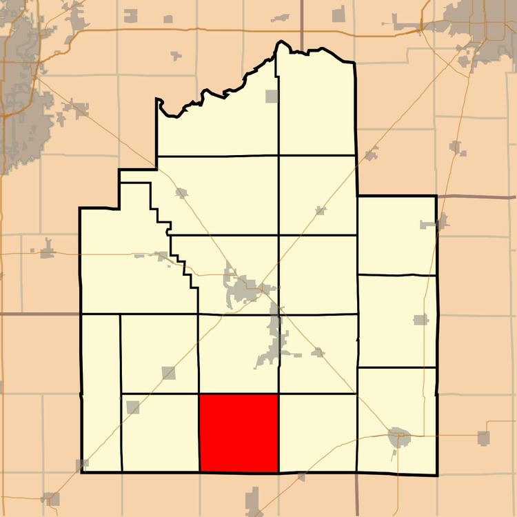
Greenwood Township is one of seventeen townships in Christian County, Illinois, USA. As of the 2010 census, its population was 208 and it contained 96 housing units.
Contents
- Map of Greenwood Township IL USA
- Geography
- Unincorporated towns
- Cemeteries
- Airports and landing strips
- School districts
- Political districts
- References
Map of Greenwood Township, IL, USA
Geography
According to the 2010 census, the township has a total area of 36.68 square miles (95.0 km2), all land.
Unincorporated towns
Cemeteries
The township contains these four cemeteries: Antioch Methodist, Center Grove Methodist, Fairview Methodist and Kettlecamp Methodist.
Airports and landing strips
School districts
Political districts
References
Greenwood Township, Christian County, Illinois Wikipedia(Text) CC BY-SA