
Country United States GNIS feature ID 0453350 Area 92.33 km² Population 423 (2010) | ZIP codes 46175, 47872, 47989 Elevation 206 m Local time Thursday 9:03 PM | |
 | ||
Weather 8°C, Wind NE at 23 km/h, 54% Humidity | ||
Greene Township is one of thirteen townships in Parke County, Indiana, United States. As of the 2010 census, its population was 423 and it contained 191 housing units.
Contents
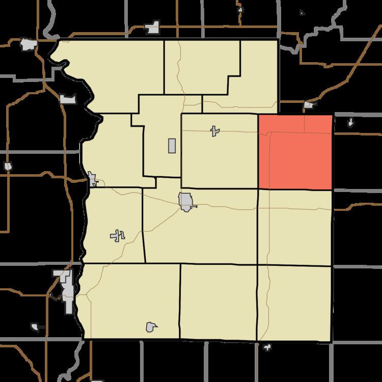
- Map of Greene Township IN USA
- History
- Geography
- Unincorporated towns
- Cemeteries
- School districts
- Political districts
- References
Map of Greene Township, IN, USA
History
The Portland Mills Bridge was listed on the National Register of Historic Places in 1978.
Geography
According to the 2010 census, the township has a total area of 35.65 square miles (92.3 km2), of which 35.55 square miles (92.1 km2) (or 99.72%) is land and 0.09 square miles (0.23 km2) (or 0.25%) is water.
Unincorporated towns
(This list is based on USGS data and may include former settlements.)
Cemeteries
The township contains these nine cemeteries: Bruin, Clodfelter, Jarvis, Lane, Mount Moriah, Philadelphia, Raccoon, Seybold and Spencer.
School districts
Political districts
References
Greene Township, Parke County, Indiana Wikipedia(Text) CC BY-SA