
Country United States ZIP codes 51652, 51653, 51654 Elevation 343 m Local time Thursday 5:59 PM | Time zone CST (UTC-6) GNIS feature ID 0467965 Area 89.14 km² Population 281 (2010) | |
 | ||
Weather 7°C, Wind NE at 24 km/h, 43% Humidity | ||
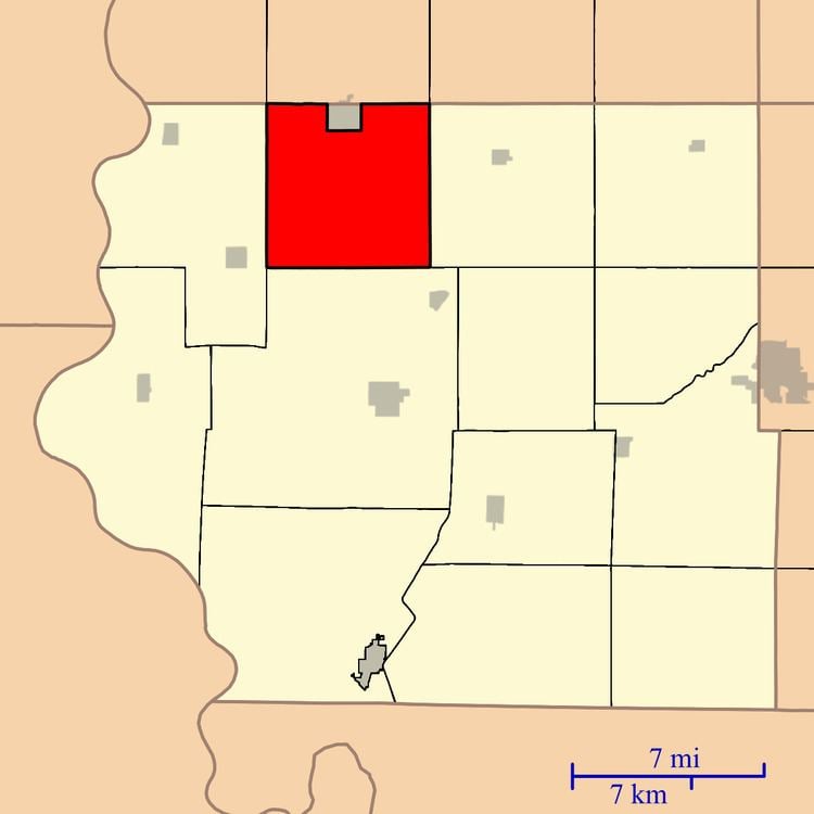
Green Township is one of thirteen townships in Fremont County, Iowa, United States. As of the 2010 census, its population was 281 and it contained 122 housing units.
Contents
- Map of Green IA USA
- Geography
- Cities towns villages
- Cemeteries
- Transportation
- School districts
- Political districts
- References
Map of Green, IA, USA
Geography
As of the 2010 census, Green Township covered an area of 34.42 square miles (89.1 km2); of this, 34.4 square miles (89 km2) (99.95 percent) was land and 0.02 square miles (0.052 km2) (0.05 percent) was water.
Cities, towns, villages
Cemeteries
The township contains Dawsonburg Cemetery, Mount Zion Cemetery, Penny Cemetery, Rhodes Cemetery and Ross Cemetery.
Transportation
School districts
Political districts
References
Green Township, Fremont County, Iowa Wikipedia(Text) CC BY-SA