Local time Friday 4:51 AM | ||
 | ||
Weather 23°C, Wind NE at 8 km/h, 86% Humidity | ||
Green Model Town is a housing project straddling the boundary between Demra and Khilgaon Thanas of Dhaka District, Bangladesh.
Contents
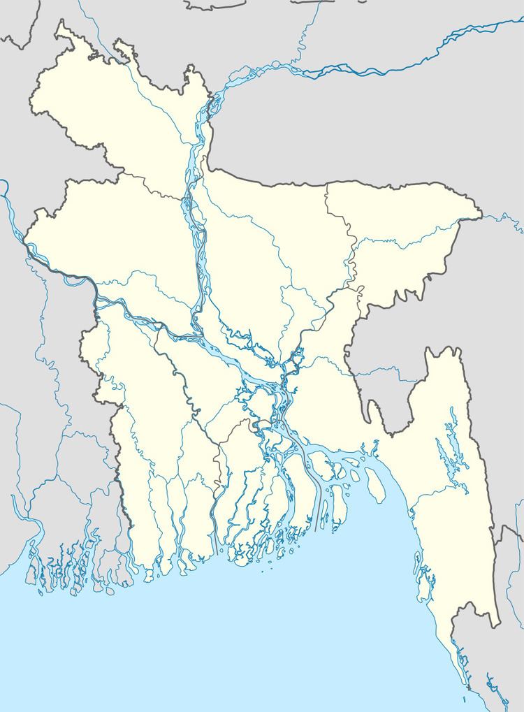
Map of Green Model Town, Dhaka, Bangladesh
Geography
Green Model Town is located at 23.7283°N 90.4518°E / 23.7283; 90.4518. It is bounded on the south by the Matuail landfill and its waste treatment pond, and on the west by Manda Khal, a canal into which the landfill discharges its effluent. Houses built on pillars encroach on the canal area, and are even built in the middle of the canal. With no access by land, the latter are reachable only by boat.
References
Green Model Town Wikipedia(Text) CC BY-SA
