
Country United States FIPS code 27-25658 Elevation 306 m Zip code 55338 Local time Thursday 4:21 PM | Time zone Central (CST) (UTC-6) GNIS feature ID 0644409 Area 254 ha Population 549 (2013) Area code 507 | |
 | ||
Weather -2°C, Wind NW at 21 km/h, 37% Humidity | ||
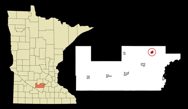
Green Isle is a city in Sibley County, Minnesota, United States. The population was 559 at the 2010 census.
Contents
Map of Green Isle, MN 55338, USA
History
Green Isle was platted in 1881, and given a name allusive of Ireland, the Emerald Isle.
Geography
According to the United States Census Bureau, the city has a total area of 0.98 square miles (2.54 km2), all of it land. Minnesota State Highways 5 and 25 are two of the main routes in the community.
2010 census
As of the census of 2010, there were 559 people, 218 households, and 154 families residing in the city. The population density was 570.4 inhabitants per square mile (220.2/km2). There were 240 housing units at an average density of 244.9 per square mile (94.6/km2). The racial makeup of the city was 98.2% White, 0.4% African American, 0.2% Native American, 0.9% from other races, and 0.4% from two or more races. Hispanic or Latino of any race were 3.0% of the population.
There were 218 households of which 39.9% had children under the age of 18 living with them, 51.8% were married couples living together, 11.5% had a female householder with no husband present, 7.3% had a male householder with no wife present, and 29.4% were non-families. 22.9% of all households were made up of individuals and 6.4% had someone living alone who was 65 years of age or older. The average household size was 2.56 and the average family size was 2.98.
The median age in the city was 32.1 years. 30.2% of residents were under the age of 18; 5.1% were between the ages of 18 and 24; 36.9% were from 25 to 44; 16% were from 45 to 64; and 12% were 65 years of age or older. The gender makeup of the city was 48.8% male and 51.2% female.
2000 census
As of the census of 2000, there were 334 people, 136 households, and 102 families residing in the city. The population density was 447.5 people per square mile (171.9/km²). There were 141 housing units at an average density of 188.9 per square mile (72.6/km²). The racial makeup of the city was 98.50% White, 0.30% African American, 0.90% Asian, 0.30% from other races. Hispanic or Latino of any race were 3.59% of the population.
There were 136 households out of which 33.1% had children under the age of 18 living with them, 65.4% were married couples living together, 5.9% had a female householder with no husband present, and 25.0% were non-families. 22.8% of all households were made up of individuals and 11.0% had someone living alone who was 65 years of age or older. The average household size was 2.46 and the average family size was 2.89.
In the city, the population was spread out with 24.9% under the age of 18, 7.5% from 18 to 24, 32.6% from 25 to 44, 18.3% from 45 to 64, and 16.8% who were 65 years of age or older. The median age was 36 years. For every 100 females there were 108.8 males. For every 100 females age 18 and over, there were 110.9 males.
The median income for a household in the city was $44,792, and the median income for a family was $51,964. Males had a median income of $31,979 versus $25,625 for females. The per capita income for the city was $25,537. About 1.8% of families and 2.5% of the population were below the poverty line, including none of those under age 18 and 11.8% of those age 65 or over.