
 | ||
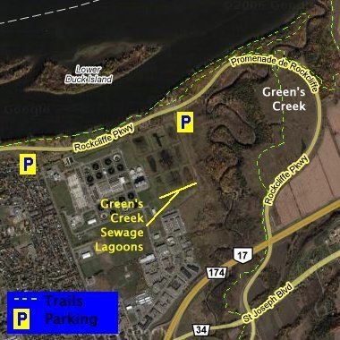
Green's Creek 45°28′00″N 75°34′35″W is a small tributary of the Ottawa River that flows through the community of Gloucester in eastern Ottawa. It has cut deeply into sediments of the Champlain sea, producing a complex mixture of forest types, from upland oak and pine to floodplain forest. As a consequence there are nearly 500 species of plants known from the area. There is a large area of silver maple swamp where it enters the Ottawa River; this is one of the most important wetland complexes along the south shore of the Ottawa River. Rare species include the only population of the provincially rare pinedrops (Pterospora andromeda) in the region, and the only regional population of witch-hazel (Hammamelis virginiana). The area is conserved as part of the Ottawa Greenbelt and 5.5 kilometres of walking trails have been maintained as part of the Green's Creek Valley conservation area.
Map of Greens Creek, Ottawa, ON, Canada
Greens Creek is also geologically significant for its fine assemblage of fossil fish dating from the era of the Champlain Sea.