
County TehranShemiranat Time zone IRST (UTC+03:30) | Bakhsh Central Area code 021 | |
 | ||
Elevation 1,200 to 1,980 m (3,900 to 6,470 ft) | ||
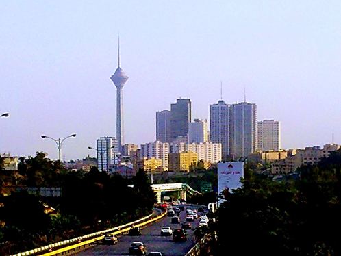
Greater Tehran is the metropolitan urban area in Tehran Province that covers the contiguous cities of Tehran, Ray, Shemiranat, and other areas.
As of 2012, greater Tehran hosts a population of close to 14 million residents.
Greater Tehran was formed in 1973 to include the villages surrounding the city of Tajrish (Evin, Darakeh, Niyavaran, Rostan Abad, Gholhak, Zargandeh, Elahiyeh, Davoudiyeh, Zarrabkhaneh) and the cities of Vanak and Rey to which “Kooye Siman” had been annexed during the years 1956 to 1966. At that time, the population of the conurbation was 4.5 million people. The rapid population growth, fueled by migration and fast population growth in Iran, has been slowing down since the 1990s. This can be attributed to the changes in Family planning.
Map of Tehran Metropolis
Tehran metropolis is situated mostly in Tehran County, but also continues over some areas in Shemiranat County, Rey County, and Eslamshahr County, Damavand County, Firuzkuh County, Karaj County, Nazarabad County, Pakdasht County, Robat-Karim County, Savojbolagh County, Varamin County and Shahriar County.