
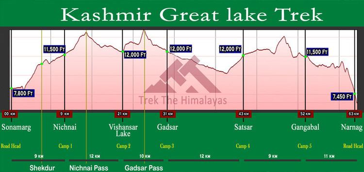
Location Central Kashmir Valley Length 144,841 m | Use Hiking | |
 | ||
Designation Kashmir Great Lakes Trek Trailheads East: Sonamarg
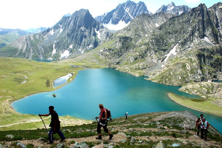
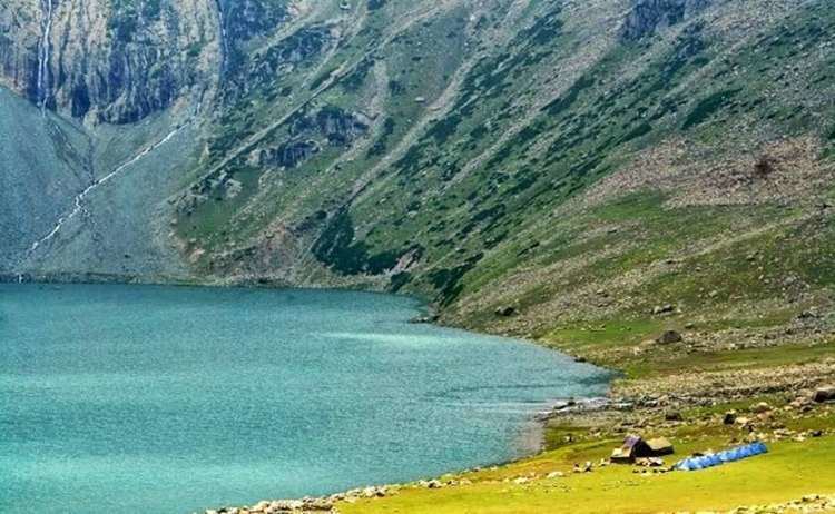
West: Naranag Highest point Zajibal Pass, 13,467 ft (4,105 m) Lowest point Naranag, 6,982 ft (2,128 m) Sights Vishansar Lake, Krishansar Lake, Gadsar Lake, Gangabal Lake, Nundkol Lake | ||
Kashmir great lakes trek
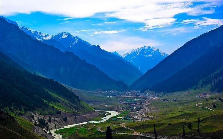
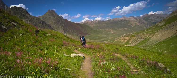
The Great Lakes Trek commercially known as Sonamarg-Vishansar-Naranag Trek is an alpine himalayan high-altitude trek in Kashmir Valley in the Indian state of Jammu and Kashmir.
Contents
13 km from Pahalgam to the sloping Aru pasture. The trek goes through a forest following River Lidder and takes around four hours. Various view-points offer breathtaking view of pine groves and the Tulian peak above Pahalagam. At Aru the Lidder vanishes underground at Gukhumb, to reappear a while later. Aru is a little village overlooking a meadow. A stream coming down from Armiun side of the Kolohoi glacier traverses the meadow. Hotels and rest houses are available, and you can pitch your own tents as well.
How difficult is the kashmir great lakes trek
References
Great Lakes Trek Wikipedia(Text) CC BY-SA