
Type Highway | Opened 1988 Length 5.5 km | |
 | ||
East end Roe Highway (National Highway 94 / State Route 3) Hazelmere | ||
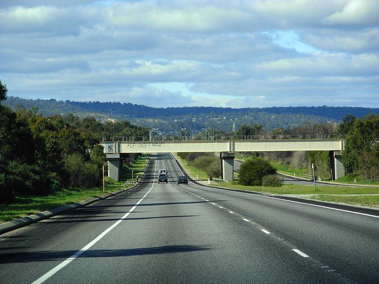
Great Eastern Highway Bypass is a limited-access dual carriageway linking Great Eastern Highway and Roe Highway in Perth, Western Australia. Together with a section of Roe Highway, it bypasses the historical Guildford and Midland localities, through which the original, urban and slower Great Eastern Highway passes.
Contents
- Map of Great Eastern Hwy Bypass Western Australia Australia
- Route description
- History
- Intersections
- References
Map of Great Eastern Hwy Bypass, Western Australia, Australia
Route description
Great Eastern Highway Bypass begins at a traffic light controlled T Junction with Great Eastern Highway in South Guildford. Through traffic flows between Great Eastern Highway southwest of the intersection and the bypass to the east; access to the north-eastern section of Great Eastern Highway requires turning off the main route. The bypass proceeds around the northern edge of Perth Airport for 1.6 kilometres (0.99 mi) before encountering Kalamunda Road at a traffic light controlled intersection. Great Eastern Highway Bypass continues east, past residential development to the north, and mostly undeveloped industrial land to the south, before crossing into the industrial suburb of Hazelmere. After 2.7 kilometres (1.7 mi) there is a traffic light controlled T Junction with Abernethy Road, Perth, which travels in a south-westerly direction, parallel to the airport's eastern edge, connecting to the industrial areas of High Wycombe, Forrestfield and Kewdale. A further 650 metres (2,130 ft) takes the bypass to Stirling Crescent, a local road providing access to Hazelmere and High Wycombe, and the road ends at Roe Highway, 600 metres (2,000 ft) to the east. Both intersections are traffic light controlled. Northbound, Roe Highway leads back to Great Eastern Highway in Midvale, east of Midland. Southbound, the highway heads towards Armadale.
History
Plans for a major highway along a similar alignment date back to Gordon Stephenson and Alistair Hepburn's 1955 "Plan for the Metropolitan Region", which was the precursor of Perth's Metropolitan Region Scheme. The first gazetted edition of the scheme shows it as a controlled access highway, extending west beyond Great Eastern Highway. The route crossed the Swan River and met a proposed north-south highway (now constructed and named Tonkin Highway), and followed the river to Perth's CBD, cutting across the Maylands and Burswood peninsulas. Such a route was still planned for in the 1970s and 1980s. The eastern section, corresponding to the current Great Eastern Highway Bypass, was constructed in the late 1980s, and was known as the Redcliffe–Bushmead Highway during construction. Great Eastern Highway Bypass was opened on 14 May 1988, after 21 months of construction, and at a cost of $10 million. The western continuation was not developed, and the route was not included in subsequent planning documents in the 1990s.
Intersections
The entire highway is in the City of Swan local government area, part of the Perth Metropolitan Region.