Main source 89 ft (27 m) | ||
 | ||
Progression Lawrence Brook, Raritan River, Atlantic Ocean | ||
Great Ditch is a drainage ditch that drains areas of the Pigeon Swamp State Park in New Jersey in the United States.
Contents
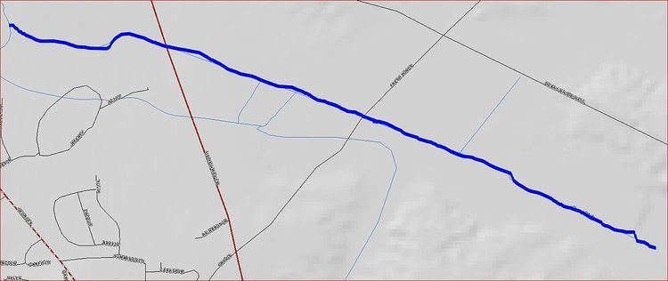
Map of Great Ditch, South Brunswick Township, NJ, USA
Course
Great Ditch starts at 40°23′5″N 74°28′57″W, in the Pigeon Swamp State Park. It flows west, crossing Fresh Ponds Lane and Route 130 before joining another stream at 40°23′39″N 74°30′27″W which drains into the Lawrence Brook.
Purpose
This canal's purpose is to drain sections of the Pigeon Swamp to prevent flooding of Deans Rhode Hall Road, which flows through the swamp.
Sister tributaries
References
Great Ditch Wikipedia(Text) CC BY-SA
