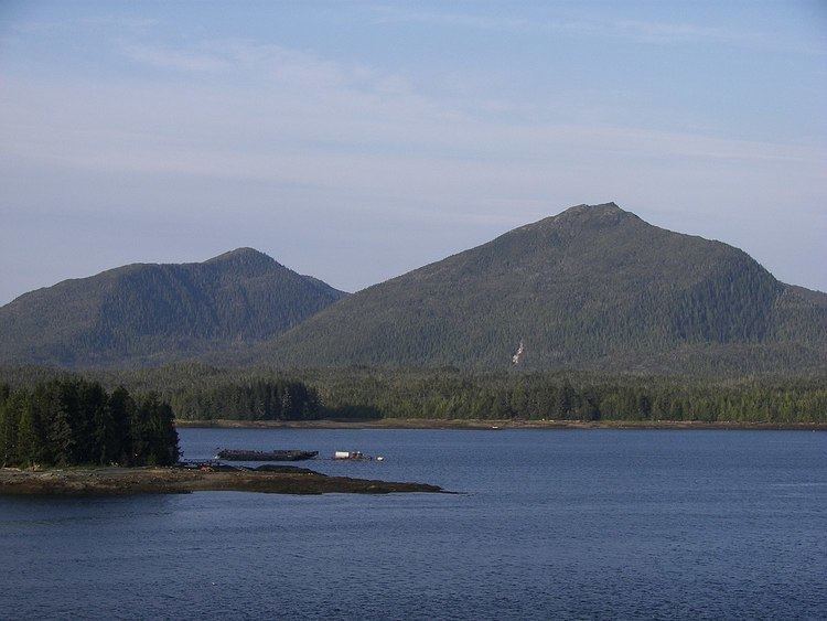
Constructed September 2008 | Length 5.1 km | |
 | ||
Existed: September 2008 – present Borough Ketchikan Gateway Borough, Alaska | ||
Black bear gravina island highway ak
The Gravina Island Highway is a 3.2-mile-long (5.1 km) gravel highway located on Gravina Island, in the Ketchikan Gateway Borough of the U.S. state of Alaska. The highway was part of a project that would connect Gravina Island, specifically, the Ketchikan International Airport, to the city of Ketchikan. The Gravina Island Bridge, which would have connected the highway to Ketchikan was cancelled, but the highway was built. Because the highway does not pass by or connect to any village or other place of importance, it has been nicknamed the Highway to Nowhere.
Contents
- Black bear gravina island highway ak
- Map of Gravina Island Highway Ketchikan AK 99901 USA
- Route description
- History
- Major junctions
- References
Map of Gravina Island Highway, Ketchikan, AK 99901, USA
Route description
The Gravina Island Highway begins at a cul-de-sac on the coast of Gravina island, at the point where the originally proposed bridge would have spanned. The highway then proceeds westward, as a two-lane, unpaved gravel road. After a short length, the road turns northward, passing a few small lakes, and a large forest. The roadway continues northwest, passing several small creeks, a small pond, and an unpaved private driveway. The highway then crosses over the Government Creek via the Government Creek Bridge, a 143-foot-long (44 m), two-lane, concrete-constructed bridge over the creek. The highway continues northwest, traveling near the coast for several miles, continuing through forests, before crossing Gravina Creek via the Gravina Creek Bridge, a 63-foot-long (19 m), two-lane, concrete-constructed bridge traveling over the creek. The road travels northwest for about another 0.1 miles (0.16 km), before intersecting a two-lane, gravel access road to the international airport. The Gravina Island Highway officially ends here, as does state maintenance, but a gravel road continues northwest. The road to northwest connects to a much simpler road. The access road has a tunnel under the airport runway.
History
In the early 1980s, the state of Alaska began a study to create an improved connection between Gravina Island and Revillagigedo Island. The study was conducted to find an easy and effective way for transport between the two islands, in order to allow the city of Ketchikan to expand to the developmental land on Gravina Island. In 2006, Sarah Palin stated that she supported the idea to create a bridge to Gravina Island, and a highway to connect the bridge to the Airport.
Major junctions
The entire route is in Ketchikan Gateway Borough.
