
- elevation 4,556 ft (1,389 m) - average 132 cu ft/s (4 m/s) | - elevation 623 ft (190 m) Basin area 422.2 km² Source Cedar Springs Mountain | |
 | ||
- max 8,000 cu ft/s (227 m/s) | ||
Grave Creek is a tributary, about 40 miles (64 km) long, of the Rogue River in southwestern Oregon in the United States.
Contents
Map of Grave Creek, Oregon, USA
Course
The creek begins near Cedar Springs Mountain just north of the Douglas County – Jackson County border and flows generally southwest through Jackson County and Josephine County to its confluence with the Rogue. It passes through the communities of Placer, Sunny Valley, and Leland.
Named tributaries from source to mouth are Panther, Swamp, Last Chance, Big Boulder, Little Boulder, Slate, and Baker, Boulder, and Clark creeks followed by Eastman and Quartz Mill gulches. Then comes Tom East Creek followed by Benjamin Gulch, Shanks Creek, Schoolhouse Gulch, and Salmon Creek.
Further downstream are Rat Creek, Mackin Gulch, and Dog Creek, then Flume, Brimstone, and Brushy gulches. Another Tom East Creek is next, followed by Wolf, Butte, Panther, Reservoir, Fall, Poorman, and McNabe creeks. The final three tributaries are McNair, Rock, and Reuben creeks.
Watershed
The Grave Creek watershed is about 20 miles (32 km) north of Grants Pass in the Klamath Mountains. It covers about 104,000 acres (42,000 ha) of which the federal Bureau of Land Management administers about 50,000 acres (20,000 ha) (48 percent). Federal and non-federal lands are intermingled in a checkerboard pattern. Annual precipitation averages about 45 inches (110 cm). Drought is common in summer.
Recreation
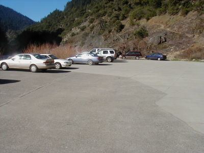
Hiking trails and river runs converge at the confluence of Grave Creek and the Rogue River. Boaters sometimes run the lower 6 miles (10 km) of Grave Creek when its flow is 500 to 1,000 cubic feet per second (14 to 28 m3/s). The run, rated class 3 on the International Scale of River Difficulty, has "short twisting blind drops on the section not visible from the road" and possible hazards that include low-hanging footbridges as well as brush along the stream banks. A handy stopping place for this run is the boat ramp near the Grave Creek Bridge over the Rogue River, which is the intersection of at Galice Road and Lower Graves Creek Road. (This is not the same as a covered bridge, the Grave Creek Bridge further upstream in Sunny Valley.)
The boat ramp is also popular with rafters and kayakers running the 40-mile (64 km) "wild" stretch of the Wild and Scenic lower Rogue, which begins at the mouth of Grave Creek. It is "one of the best-known whitewater runs in the United States." Parallel to the wild stretch of the river, the Lower Rogue River Trail winds through the Wild Rogue Wilderness between the mouth of Grave Creek and Illahe.