
OS grid reference SU2774441883 Dialling code 01264 | Sovereign state United Kingdom Local time Saturday 4:48 PM | |
 | ||
Weather 12°C, Wind W at 29 km/h, 83% Humidity | ||
Grateley is a village and civil parish in the north west of Hampshire, England.
Map of Grateley, Andover, UK
The name is derived from the Old English grēat lēah, meaning 'great wood or clearing'.
The village is divided into two distinct settlements, 0.75 miles (1.21 km) apart: the old village and a newer settlement built around the railway station on the West of England Main Line. The hamlet of Palestine adjoins the railway station settlement, although it is located in the civil parish of Over Wallop.
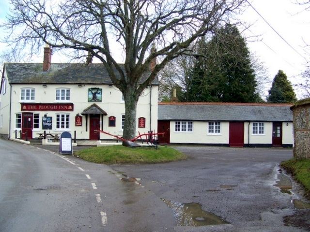
Grateley lies just to the south of the prehistoric hill fort of Quarley Hill. The parish covers 1,551 acres (6.28 km2) with 616 people living in 250 dwellings. The village has two shops, two pubs, a thirteenth-century church dedicated to St Leonard, a primary school, a school for children with Aspergers Syndrome, a railway station, a small business park, a golf driving range, and is surrounded by farmland with ancient footpaths and droveways.
King Æthelstan issued his first official law code in Grateley in about 930 AD.
In the 20th century Grateley was one of many ammunition dumps during the World Wars.
The economic history of Grateley is agricultural, but less than 10% of the village population now rely upon agriculture as an occupation.