
Postcode(s) 4352 State electorate(s) Nanango Postal code 4352 | ||
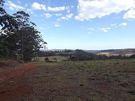 | ||
Grapetree is a locality in the Toowoomba Region local government area of Darling Downs region in southern Queensland, Australia.
Contents
Map of Grapetree QLD 4352, Australia
Geography
The southern extent of Crows Nest National Park occupies the eastern half of Grapetree. Upper Cressbrook Creek forms part of the eastern boundary of Grapetree. A small section of Pechey State Forest lies adjacent to the New England Highway which forms part of the western boundary.
History
Grapetree was part of the Shire of Crows Nest until 2008 when the local government area was amalgamated into the Toowoomba Region.
References
Grapetree, Queensland Wikipedia(Text) CC BY-SA