
Surface area 4.05 km (1.56 sq mi) Surface elevation 24 m Mean depth 40 m Width 1.2 km | References NVE Area 4.05 km² Length 4.4 km Shore length 10.97 km | |
 | ||
Max. length 4.4 kilometres (2.7 mi) Max. width 1.2 kilometres (0.75 mi) Reference Norwegian Water Resources and Energy Directorate | ||
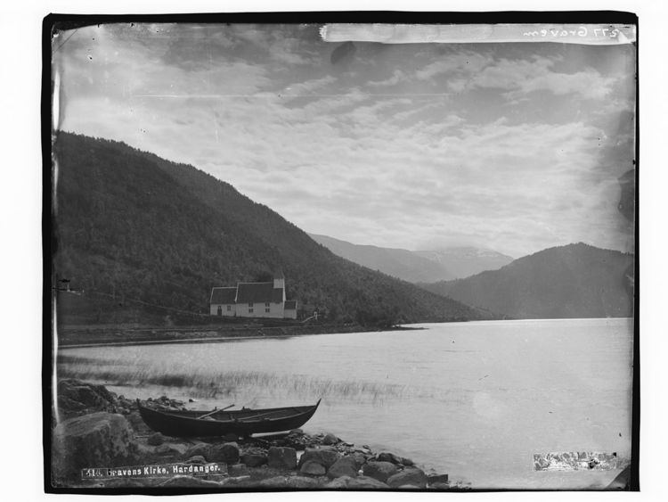
Granvinsvatnet is a lake in the municipality of Granvin in Hordaland county, Norway. The 4.05-square-kilometre (1.56 sq mi) lake sits just north of the municipal centre of Eide in the central part of the municipality.
Map of Granvinsvatnet, 5736 Granvin, Norway
The Norwegian National Road 13 exits the Tunsberg Tunnel just northwest of the lake and then runs along the northern and eastern shores of the lake before entering the Vallavik Tunnel just off the southeastern tip of the lake. The planned Joberg Tunnel is scheduled to be built along the northern part of this lake. The old Hardanger Line railway used to run along the west side of the lake. Granvin Church lies along the eastern shore of the lake.
References
Granvinsvatnet Wikipedia(Text) CC BY-SA