
- elevation 1,194 ft (364 m) Phone +1 413-357-6611 | Area 9.818 km² | |
 | ||
Hours Open today · 7AM–7PMSaturday7AM–7PMSunday7AM–7PMMonday7AM–7PMTuesday7AM–7PMWednesday7AM–7PMThursday7AM–7PMFriday7AM–7PM Management Department of Conservation and Recreation Similar Tunxis State Forest, Enders State Forest, Austin Hawes Campgro, Prospect Mountain Campgro | ||
Granville state forest
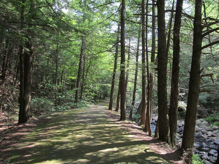
Granville State Forest is a Massachusetts state park located in the towns of Granville and Tolland in the southern Berkshire Hills along the state's southern border with Connecticut. The park is managed by the Department of Conservation and Recreation (DCR). It is adjacent to Connecticut's Tunxis State Forest.
Contents
Granville state forest massachusetts
Description
This area was once the Tunxis Native American tribe's hunting and fishing grounds. After discovery by English pioneer Samuel Hubbard in 1749 much of it was converted to open pasture and farmland. Under protection, the forest is regenerating with typical northern conifers and hardwoods. The Hubbard River drops 450 feet (140 m) in 2.5 miles (4.0 km), forming pools and waterfalls as it passes over various rock formations.
Activities and amenities
References
Granville State Forest Wikipedia(Text) CC BY-SA