
Country United States FIPS code 26-34220 Local time Saturday 9:17 AM | Time zone Eastern (EST) (UTC-5) Elevation 282 m Population 3,259 (2010) | |
 | ||
Weather 1°C, Wind E at 0 km/h, 100% Humidity Area 85.99 km² (84.95 km² Land / 129 ha Water) | ||
Grant Township is a civil township of Clare County in the U.S. state of Michigan. As of the 2010 census, the township population was 3,259.
Contents
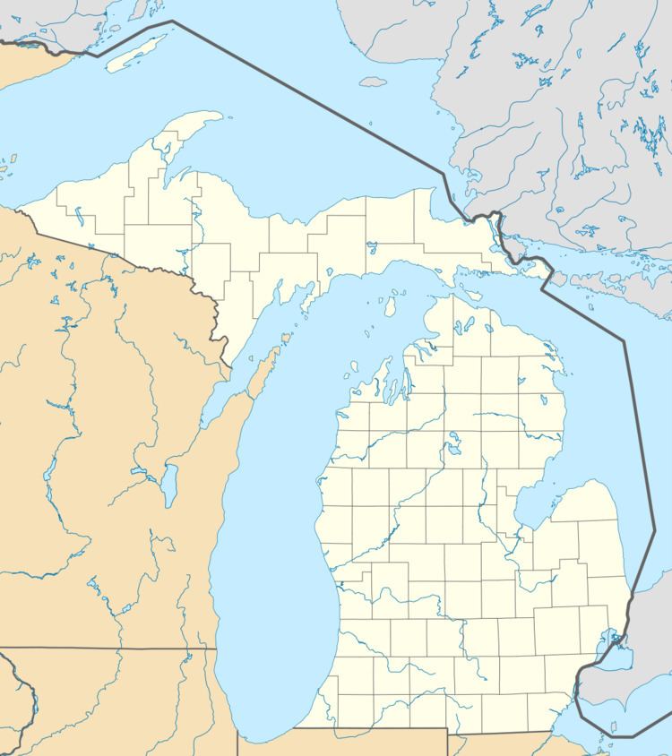
Map of Grant Township, MI, USA
Communities
Geography
Grant Township is located in southern Clare County and is bordered to the south by Isabella County and the city of Clare. U.S. Routes 10 and 127 cross the township, meeting at an interchange north of its geographic center and leading south together to another interchange in the southern part of the township east of Clare. US 10 leads west to Evart and Reed City and east to Midland and Bay City, while US 127 leads north to Harrison and Grayling and south to Mount Pleasant and Lansing.
According to the United States Census Bureau, Grant Township has a total area of 33.2 square miles (86.1 km2), of which 32.8 square miles (84.9 km2) is land and 0.50 square miles (1.3 km2), or 1.46%, is water.
Demographics
As of the census of 2000, there were 3,034 people, 1,151 households, and 874 families residing in the township. The population density was 91.3 per square mile (35.3/km²). There were 1,367 housing units at an average density of 41.1 per square mile (15.9/km²). The racial makeup of the township was 97.33% White, 0.13% African American, 0.59% Native American, 0.36% Asian, 0.40% from other races, and 1.19% from two or more races. Hispanic or Latino of any race were 0.53% of the population.
There were 1,151 households out of which 32.9% had children under the age of 18 living with them, 64.1% were married couples living together, 7.4% had a female householder with no husband present, and 24.0% were non-families. 20.3% of all households were made up of individuals and 8.6% had someone living alone who was 65 years of age or older. The average household size was 2.62 and the average family size was 3.02.
In the township the population was spread out with 25.7% under the age of 18, 7.7% from 18 to 24, 26.3% from 25 to 44, 26.0% from 45 to 64, and 14.3% who were 65 years of age or older. The median age was 39 years. For every 100 females there were 102.0 males. For every 100 females age 18 and over, there were 101.8 males.
The median income for a household in the township was $35,245, and the median income for a family was $41,607. Males had a median income of $31,193 versus $21,400 for females. The per capita income for the township was $17,597. About 8.3% of families and 11.1% of the population were below the poverty line, including 16.2% of those under age 18 and 10.0% of those age 65 or over.