
Type: Traffic circle Major cities Washington, D.C. | Maintained by: DDOT | |
 | ||
Roads atjunction: New Hampshire Avenue NWIllinois Avenue NWVarnum Street NW5th Street NW | ||
No lane discipline entering grant circle
Grant Circle is a traffic circle located in the Petworth neighborhood of Northwest Washington, D.C. New Hampshire and Illinois Avenues NW, Varnum Street NW, and 5th Street NW all intersect at this circle. The park within the circle is owned and administered by the National Park Service through its Rock Creek Park unit. The circle and the buildings flanking it were listed on the National Register of Historic Places in 2015.
Contents
- No lane discipline entering grant circle
- Map of Grant Cir NW Washington DC 20011 USA
- History
- References
Map of Grant Cir NW, Washington, DC 20011, USA
History
Originally named Sheridan Circle, it was renamed Grant Circle in 1889. Grant Circle is named for Ulysses S. Grant, the former Union Army General who won the American Civil War and later was twice elected President of the United States. The local newsletter, the Grant Circular, is named after the circle. The blocks surrounding the circle were fully developed by 1920, and the 40-foot (12 m) roadway around it paved in 1921.
The park within the circle is owned and administered by the National Park Service through its Rock Creek Park unit.
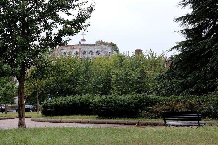
Petworth Methodist Church was built on Grant Circle in 1920. Grant Circle was one of the first locales in the city where the double-globe "Bacon lamppost" was erected. The Beaux-Arts-style street light was approved by the United States Commission of Fine Arts in 1924, and is still used only in the city's historic core.