
Country United States Time zone CST (UTC-6) Elevation 225 m Population 590 (2010) | Established November 4, 1856 ZIP codes 61933, 61944 Area 116.9 km² Local time Saturday 6:15 AM | |
 | ||
Weather 2°C, Wind W at 19 km/h, 86% Humidity | ||
Grandview Township is one of fifteen townships in Edgar County, Illinois, USA. As of the 2010 census, its population was 590 and it contained 260 housing units.
Contents
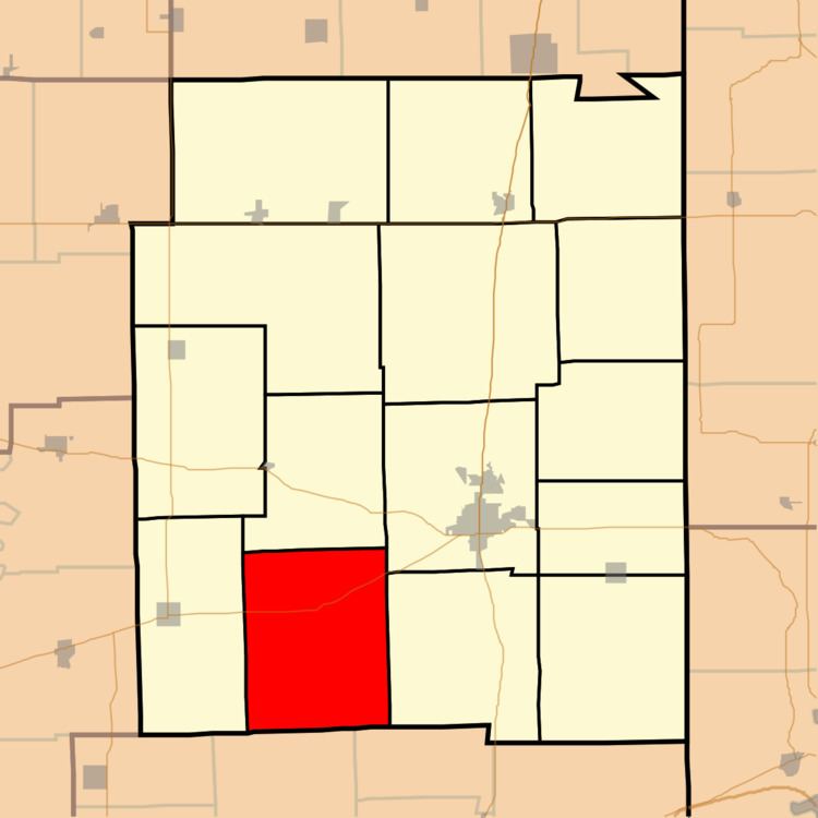
- Map of Grandview Township IL USA
- Geography
- Unincorporated towns
- Cemeteries
- Major highways
- Airports and landing strips
- School districts
- Political districts
- References
Map of Grandview Township, IL, USA
Geography
According to the 2010 census, the township has a total area of 45.14 square miles (116.9 km2), of which 45.08 square miles (116.8 km2) (or 99.87%) is land and 0.06 square miles (0.16 km2) (or 0.13%) is water.
Unincorporated towns
Cemeteries
The township contains these twelve cemeteries: Augustus, Barr-Johnson, Beatty, Boyer, Cholera, Gill, Grandview, Hinds, Huffman, New Goshen, Rudy and Tate. There is also Baber Family Cemetery, Goshen, Ryan.
Major highways
Airports and landing strips
School districts
Political districts
References
Grandview Township, Edgar County, Illinois Wikipedia(Text) CC BY-SA