
Quadrant NW Sector Mature area Elevation 674 m | Ward 10 Area 56 ha Population 1,090 (2012) | |
 | ||
Grandview Heights is a residential neighbourhood in south west Edmonton, Alberta, Canada. It is built on land that had been owned in the 1880s by a family named McCauley.
Contents
Map of Grandview Heights, Edmonton, AB, Canada
The neighbourhood is bounded on the north by the North Saskatchewan River valley, on the west by the Whitemud Creek Ravine and on the south and east by the University of Alberta farm. Road access to the neighbourhood is by 122 Street from the south and by Belgravia Road and Fox Drive from the north. Despite a comparatively central location, Grandview Heights has no adjacent neighbourhoods, though it is geographically close to Lansdowne, Belgravia and Brookside.
According to the 2001 federal census, approximately 17 out of 20 residences in the neighbourhood were built during the 1960s. Substantially all of the residences (95%) are single family residences with almost all the remainder being rented apartments in a low rise building with fewer than five stories. Substantially all residences in the neighbourhood are owner occupied.
Demographics
In the City of Edmonton's 2012 municipal census, Grandview Heights had a population of 7003109000000000000♠1,090 living in 7002366000000000000♠366 dwellings, a -4.1% change from its 2009 population of 7003113700000000000♠1,137. With a land area of 0.56 km2 (0.22 sq mi), it had a population density of 7003194640000000000♠1,946.4 people/km2 in 2012.
Average household income in Grandview Heights is significantly higher than the average household income in the City of Edmonton at large.
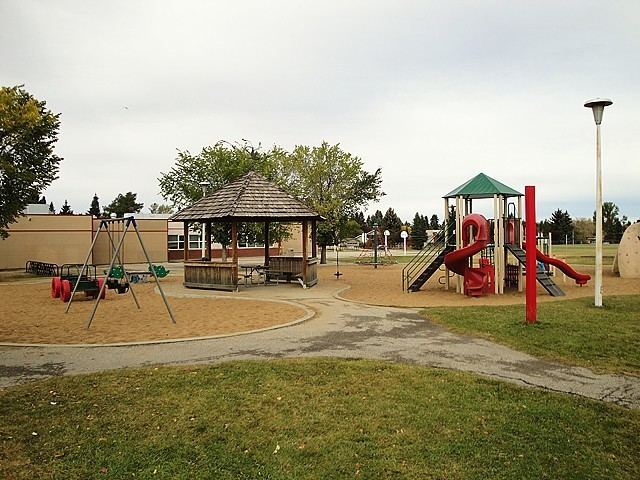
There is a single school in the neighbourhood, operated by the Edmonton Public School System, Grandview Heights Elementary Junior High School.