
Elevation 2,790 m Listing Ultra-prominent peak | Easiest route southern slopes Prominence 1,541 m | |
 | ||
Similar Massif du Dévoluy, Grand Ferrand, Mont Aiguille, Pic de Bure, Grand Veymont | ||
Randonn e d voluy la grande t te de l obiou carnets de rando 104
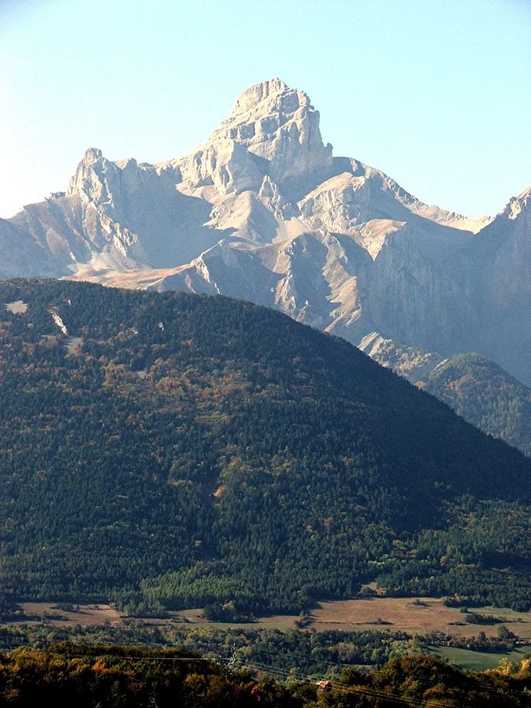
The Grande Tête de l'Obiou (or simply l'Obiou) is a mountain in the French Prealps belonging to the French department of Isère. It is the highest peak of the Dévoluy Mountains and of the Dauphiné Prealps and the seventh most prominent summit of metropolitan France.
Contents
- Randonn e d voluy la grande t te de l obiou carnets de rando 104
- Map of Grande TC3AAte de lObiou 38710 CordC3A9ac France
- Grande t te de l obiou 2793m
- GeographyEdit
- Access to the summitEdit
- MapsEdit
- References
Map of Grande T%C3%AAte de l'Obiou, 38710 Cord%C3%A9ac, France
Grande t te de l obiou 2793m
GeographyEdit
Administratively the mountain is divided between the French communes of Cordéac (NE slopes) and Monestier-d'Ambel (SW slopes).
Access to the summitEdit
The easiest route for the summit starts from Baumes hut and ascends the southern slopes of the mountain through the Faïsses pass and the Obiou pass (l'Épaule).
MapsEdit
References
Grande Tête de l'Obiou Wikipedia(Text) CC BY-SA