Supriya Ghosh (Editor)

Grand Rullecourt

Updated on
Edit
Like
Comment
Share on FacebookTweet on TwitterShare on LinkedInShare on Reddit
Country
  
France

Department
  
Pas-de-Calais

Intercommunality
  
Deux Sources

Area
  
10.71 km²

Arrondissement
  
Arras

Region
  
Hauts-de-France

Canton
  
Avesnes-le-Comte

Population (1999)
  
334

Local time
  
Saturday 11:02 AM

Grand-Rullecourt mediacdntripadvisorcommediaphotos0198762

Weather
  
11°C, Wind W at 31 km/h, 94% Humidity

Grand-Rullecourt is a commune in the Pas-de-Calais department in the Hauts-de-France region of France.

Contents

Map of 62810 Grand-Rullecourt, France

Geography

Grand-Rullecourt is a farming village situated 15 miles (24.1 km) southwest of Arras, at the junction of the D74 and D79 roads.
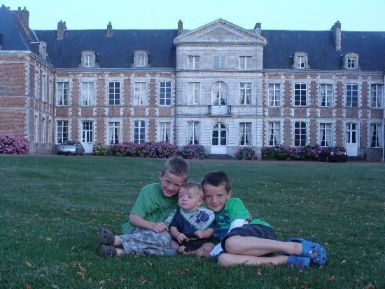
Places of interest

  • The chateau, built in 1746 by Antoine-Constant de Hamel, next to the previous castle, to plans by Jean-Joseph de Watelet, mayor of the city of Arras. After the French Revolution, the chateau was sold as a national asset, (Antoine's son having died on the scaffold). His grandson bought it back but couldn't afford to keep it. It later belonged to Captain Wallerand de Hauteclocque, who was killed during World War I. After the war, the property was sold in parts. The present owners, Vicomte Patrice de Saulieu O'Toole and his wife Chantal, are currently restoring the main building.
  • The church of St.Leger, dating from the seventeenth century.
  • A network of underground tunnels, particularly under the church.
  • References

    Grand-Rullecourt Wikipedia