Suvarna Garge (Editor)

Grand Ronde Community

Updated on
Edit
Like
Comment
Share on FacebookTweet on TwitterShare on LinkedInShare on Reddit
Country
  
United States

Area
  
42.43 km²

Local time
  
Saturday 1:51 AM

State
  
Oregon

Population
  
55 (2000)

Grand Ronde Community

County
  
Yamhill County Polk County

Weather
  
8°C, Wind E at 6 km/h, 91% Humidity

The Grand Ronde Community is an Indian reservation located on several non-contiguous sections of land in southwestern Yamhill County and northwestern Polk County, Oregon, United States, about 18 miles (29 km) east of Lincoln City, near the community of Grand Ronde. In the mid-19th century, the United States government forced various tribes and bands from all parts of Western Oregon to be removed from their homes and placed on this reservation. It is owned by the Confederated Tribes of the Grand Ronde Community of Oregon. The reservation has a land area of 16.384 square miles (42.43 km2). In the 2000 census recorded a population of 55 persons. Most members of the tribe live elsewhere in order to find work.

Contents

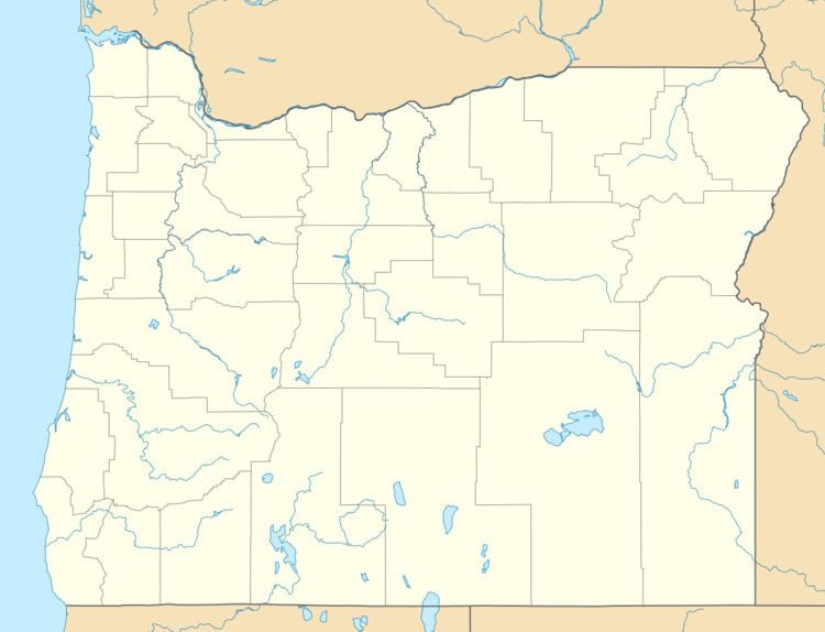
Map of Grand Ronde Community, OR, USA

Geography

Grand Ronde Reservation is located near 45°08′50″N 123°38′44″W.

Historical summary

  • Since 6,000 BCE or earlier, the Rogue River, Umpqua, Chasta, Kalapuya, Molalla, Salmon River, Tillamook, and Nestucca Indians lived in their traditional homelands
  • 1854–1857: In the wake of the Rogue River Wars, the Grand Ronde reservation established by treaty arrangements in 1854 and 1855 and an Executive Order of June 30, 1857
  • 1856: Fort Yamhill built next to reservation
  • 1860's: Arrival of the Belgian Catholic missionary Father Adrien Croquet (renamed Crockett), uncle of the famous Cardinal Mercier, later followed by his nephew, Joseph Mercier. The non-ordained Joseph married into a local tribe, and many present-day tribespeople are among his descendants.
  • 1887: the General Allotment Act makes allotments to individuals totaling slightly over 33,000 acres (130 km2) of Reservation land. Most of this ends up in the hands of non-Indians.
  • 1901: U.S. Inspector James McLaughlin declared a 25,791-acre (104.37 km2) tract of the reservation "surplus" and the U.S. sold it for $1.16 per acre ($287/km²).
  • 1936: Indian Reorganization Act enables the Tribe to re-purchase some land for homes
  • 1954: Under the Termination Act, the tribe's federal status was ended.
  • 1983: Grand Ronde Restoration Act: On November 22, 1983, President Ronald Reagan signed the Grand Ronde Restoration Act, restoring federal recognition to the people as a tribe.
  • 1988: Tribe regains 9,811 acres (39.70 km2). This is now about 10,052 acres (40.68 km2).
  • References

    Grand Ronde Community Wikipedia