
Local time Saturday 6:30 AM | Elevation 3 ft (1 m) Province South Region | |
 | ||
Weather 25°C, Wind E at 3 km/h, 97% Humidity | ||
Cameroun bongahele grand batanga
Grand Batanga is a coastal village in the South Province of Cameroon. It lies about halfway between the port of Kribi and the Guinea border to the south.
Contents
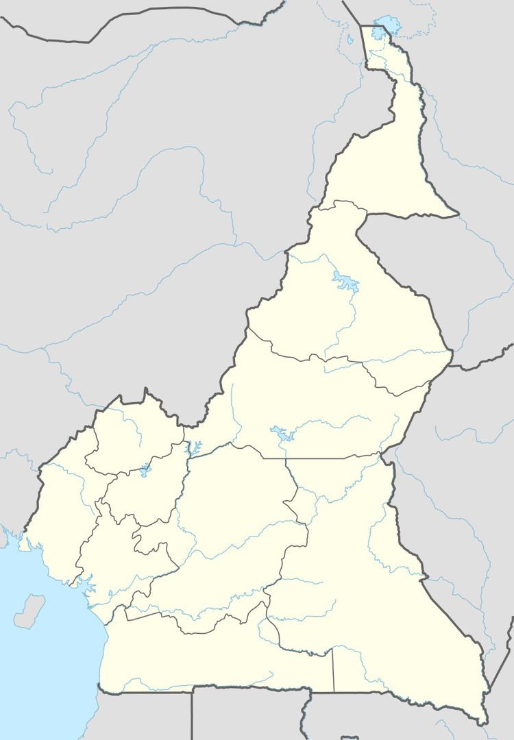
Map of Grand Batanga, Cameroon
Iron Ore
Grand Batanga is the possible site of a deep water port for the haulage of iron ore from the Mbalam region about 450 km to the east. As there is no natural harbour in the vicinity, a pier several kilometres long will be needed to access deep water of about 20 metres.
Quantm software
The route of the railway is being designed using Quantm software which analyzes millions of alternative before presenting the operator a handful of the most promising choices. The software determines the quantities of cut and fill which tend to be one of the most important cost factors.
Maps of the Quantm choices can be seen in the Annual General Meeting Presentation.
The most preferred route shows a generally level route from Mbalam to Grand Batanga with one 100 km stretch of falling gradients. The gradients of such a route favours loaded trains.