
Area 6.4 km² | Region Normandy Local time Saturday 3:35 AM | |
 | ||
Intercommunality Saint Romain de Colbosc Weather 8°C, Wind W at 39 km/h, 94% Humidity | ||
Graimbouville is a commune in the Seine-Maritime department in the Haute-Normandie region in northern France.
Contents
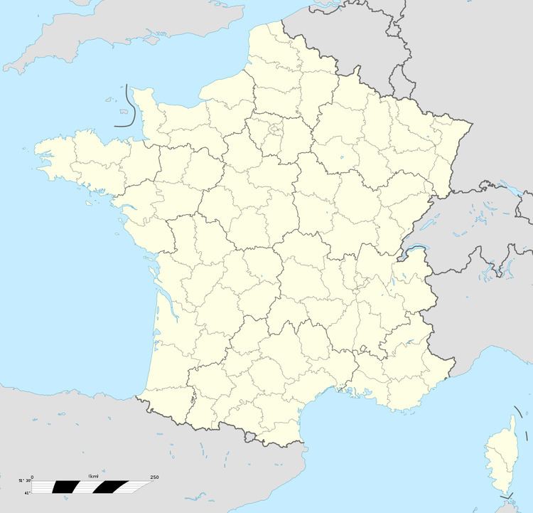
Map of Graimbouville, France
Geography
A farming village situated in the Pays de Caux, some 13 miles (21 km) northeast of Le Havre, at the junction of the D234 and D434 roads. The A29 autoroute passes through the southern tip of the commune.
Places of interest
References
Graimbouville Wikipedia(Text) CC BY-SA