
Time zone Eastern (EST) (UTC-5) | Elevation 1,880 ft (570 m) FIPS code 24-34425 | |
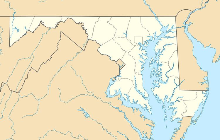 | ||
Grahamtown is an unincorporated community and census-designated place (CDP) in Allegany County, Maryland, United States, located at the southeast edge of Frostburg. As of the 2010 census it had a population of 364. It is part of the Cumberland, MD-WV Metropolitan Statistical Area.
The town takes its name from Curtin Graham, who owned a farmhouse at this site, surrounded by several small service buildings in the 1880s. A fire gutted the farmhouse in 1995, leaving only an uninhabited shell. Grahamtown is also known as Wright's Crossing, marking the point where Maryland Route 36 crosses Welsh Hill.
References
Grahamtown, Maryland Wikipedia(Text) CC BY-SA