
Highest elevation 1,164 m (3,819 ft) Population 4475 (2001) Elevation 1,164 m | Highest point Mount Moresby Area 6,361 km² | |
 | ||
Largest settlement Queen Charlotte City (pop. 948) Points of interest Tow Hill, Delkatla Wildlife Sanctuary, Haida Gwaii Museum, Port Clements Historical, Misty Meadows Campground | ||
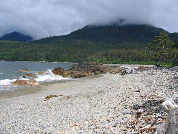
Graham Island is the largest island in the Haida Gwaii archipelago (formerly Queen Charlotte Islands), lying off the coast of British Columbia, Canada. It is separated only by a narrow channel from the other principal island of the group, Moresby Island (a.k.a. Gwaii Haanas in the language of the Haida people). It has a population of 4,475 (2001 census), an area of 6,361 km2 (2,456 sq mi), and is the 101st largest island in the world, Canada's 22nd largest island.
Contents
Map of Graham Island, British Columbia, Canada
Graham Island was named in 1853 by James Charles Prevost, commander of HMS Virago, for Sir James Graham, 2nd Baronet, who was First Lord of the Admiralty at the time.
Communities
Attractions
References
Graham Island Wikipedia(Text) CC BY-SA