
Location Kara Sea Highest elevation 509 m (1,670 ft) Elevation 509 m Island group Franz Josef Land | Archipelago Franz Josef Land Highest point Kupol Vetrenyy Area 1,557 km² | |
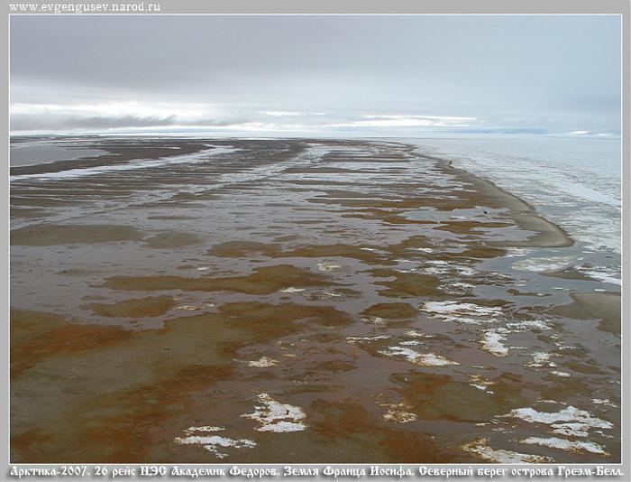 | ||
Graham Bell Island (Russian: Остров Греэм-Белл) is an island located at 80.8663889°N 64.2891667°E / 80.8663889; 64.2891667 in the Franz Josef Archipelago, Russia.
Contents
Map of Graham Bell Island, Arkhangelsk Oblast, Russia
Geography
Graham Bell Island is one of the largest islands of the group. It lies east of Wilczek Land, separated from it by a narrow sound known as Morgan Sound (Пролив Моргана; Proliv Morgana). It is also the easternmost island of Franz Josef Land. Cape Kohlsaat, the easternmost point of the archipelago at 81°14′N, 65°10′E, lies on Graham Bell Island's eastern shore. Cape Kohlsaat marks the northwestern-most corner of the Kara Sea and is a significant geographical landmark. and it is partly glacierized.
The highest point of Graham Bell Island, 509 m (1,670 ft), is the summit of Kupol Vetrenyy (Купол Ветреный) "Windy Dome", a large ice dome covering the western part of the island.
This island was named after inventor Alexander Graham Bell. Graham Bell Island should not be confused with the smaller Bell Island which is also part of the Franz Josef Archipelago and which named after the shape, not the person.
History
Graham Bell Island is home to a Cold War outpost and to the airfield Greem Bell (81°09′N 64°17′E) on the Northeastern end of the island. It is the largest airfield in the archipelago. It has a runway 2,100 m (7,000 ft) long. Russian cargo and fighter aircraft have regularly landed here since the 1950s. The runway was usable only in the 8 months with sufficiently frozen ground. Before it was shut down it was also used for tourist helicopter trips around the Russian arctic as a stopover and refueling base. The base was shut down completely in 1994. It began falling into ruins and was subsequently closed to normal visitors. In 2012, the Russian Air Force decided to reopen Graham Bell Airfield as part of a series of reopenings of air bases in the Arctic.