
OS grid reference SE763545 Sovereign state United Kingdom Postcode district YO41 Dialling code 01759 | Post town YORK Local time Friday 6:51 PM | |
 | ||
Weather 9°C, Wind SW at 31 km/h, 85% Humidity | ||
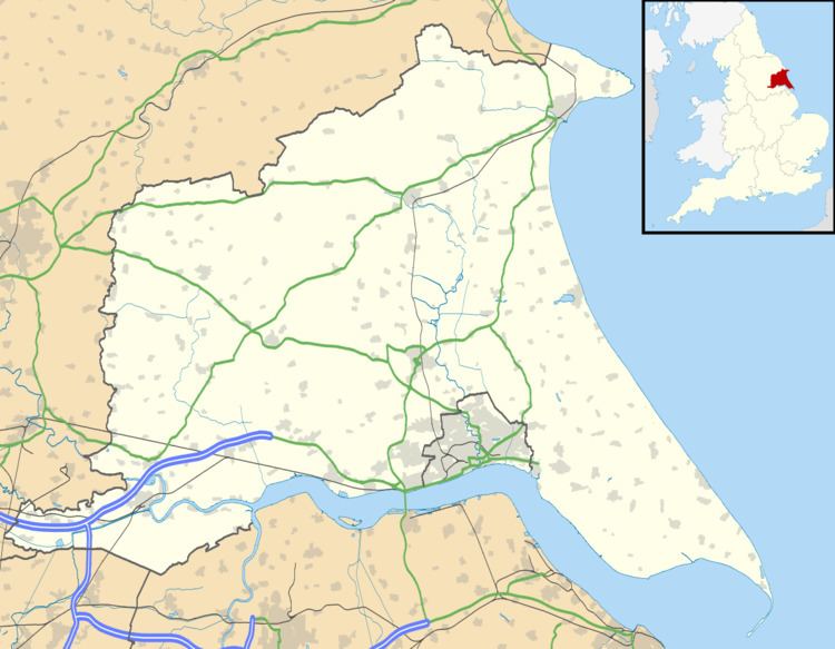
Gowthorpe is a hamlet in the East Riding of Yorkshire, England. It is situated approximately 4 miles (6 km) north-west of Pocklington town centre and 3 miles (5 km) east of the village of Stamford Bridge.
Map of Gowthorpe, York, UK
Gowthorpe forms part of the civil parish of Bishop Wilton.
From 1886 Gowthorpe was part of the civil parish of Youlthorpe with Gowthorpe which was abolished on 1 April 1935 with the creation of the civil parish of Bishop Wilton.
References
Gowthorpe Wikipedia(Text) CC BY-SA