
Area 45,000 km² | Time zone GMT (UTC+0) Local time Friday 1:11 PM | |
 | ||
Gourma-Rharous Cercle is an administrative subdivision of the Tombouctou Region of Mali. The administrative center is the town of Gourma-Rharous.
Map of Gourma-Rharous, Mali
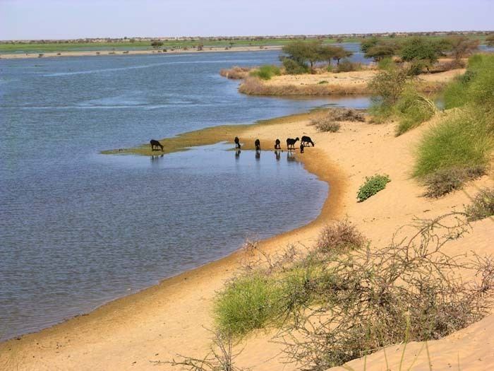
The route of the annual circular migration of the Gourma elephants crosses a number of communes in the cercles of Gourma-Rharous and Douentza (Mopti Region). Lake Banzena (15°40′00″N 2°35′30″W) in the commune of Bambara Maoudé serves as an important source of water for the elephants at the end of the dry season (April to June).
The cercle is divided into nine communes:
References
Gourma-Rharous Cercle Wikipedia(Text) CC BY-SA