Area 13.9 km² | Local time Friday 1:53 PM Sfos number 5541 | |
 | ||
Weather 16°C, Wind S at 19 km/h, 51% Humidity | ||
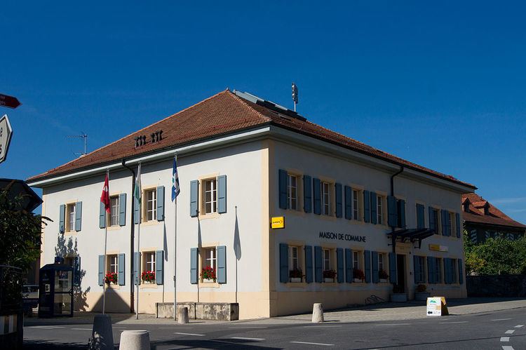
Goumoëns is a municipality in the district of Gros-de-Vaud in the canton of Vaud in Switzerland.
Contents
Map of 1376 Goumo%C3%ABns, Switzerland
The municipalities of Éclagnens, Goumoens-la-Ville and Goumoens-le-Jux merged on 1 July 2011 into the new municipality of Goumoëns.
History
Éclagnens is first mentioned in 1265 as de Clanens. Goumoens-la-Ville is first mentioned in 1228 as Guimuens li vila. Goumoens-le-Jux is first mentioned in 1447 as Gumoens lo Jux. During the Ancien Régime it was known as Le Craux.
Geography
Goumoëns has an area, as of 2009, of 13.89 square kilometers (5.36 sq mi). Of this area, 9.41 km2 (3.63 sq mi) or 67.7% is used for agricultural purposes, while 3.36 km2 (1.30 sq mi) or 24.2% is forested. Of the rest of the land, 0.96 km2 (0.37 sq mi) or 6.9% is settled (buildings or roads), 0.04 km2 (9.9 acres) or 0.3% is either rivers or lakes and 0.01 km2 (2.5 acres) or 0.1% is unproductive land.
Historic population
The historical population is given in the following chart:
