
 | ||
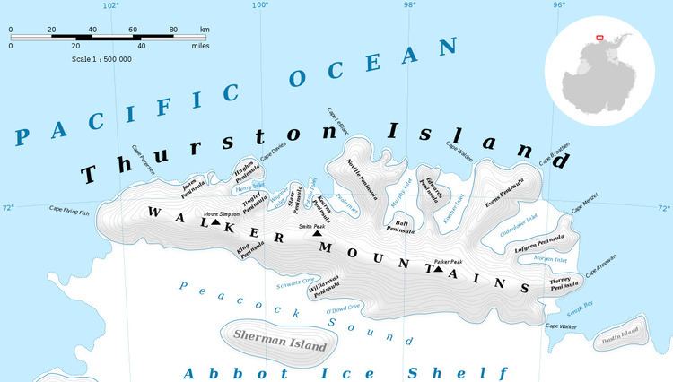
Gould Knoll (72°14′S 100°35′W) is a mostly ice-covered rock knoll that rises on the east margin of Hale Glacier, Thurston Island, Antarctica,at the point the glacier enters the Abbot Ice Shelf. It was named by the Advisory Committee on Antarctic Names after William G. Gould, a National Oceanic and Atmospheric Administration specialist, from the 1960s to the mid-1990s, in the archiving of Advanced Very High Resolution Radiometer (AVHRR) satellite images of the world, including those used for AVHRR image maps of the Antarctic continent.
Contents
Map of Gould Knoll, Antarctica
Maps
References
Gould Knoll Wikipedia(Text) CC BY-SA