
Admin. region Freiburg Elevation 437 m (1,434 ft) Area 23.59 km² Local time Friday 12:57 PM Dialling code 07731 | District Konstanz Time zone CET/CEST (UTC+1/+2) Population 10,256 (31 Dec 2008) Postal code 78244 Administrative region Freiburg | |
 | ||
Weather 18°C, Wind SW at 24 km/h, 46% Humidity | ||
Fasnet ma ntig umzug gottmadingen 27 02 2017 4k
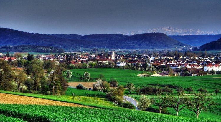
Gottmadingen is a municipality in the district of Konstanz, in Baden-Württemberg, Germany. It is situated next to the border to Switzerland, 5 km southwest of Singen, and 12 km east of Schaffhausen.
Contents
- Fasnet ma ntig umzug gottmadingen 27 02 2017 4k
- Map of 78244 Gottmadingen Germany
- Street view gottmadingen bei singen in germany
- References
Map of 78244 Gottmadingen, Germany
Gottmadingen's first documentary mention was in 965. Until the construction of the railway Singen - Schaffhausen it was a tiny village. Economic growth began in the 20th century. Due to the big demand for workers in the new factories the number of inhabitants grew rapidly
Gottmadingen's industry was mainly based on the production of agricultural machinery. In the years 1960 - 70 more than 4000 workers were employed in the "Fahr" factory for agricultural engines. The factory was closed in 2003.
Today's economy is based on several companies that settled on the former "Fahr" factory area.