
Area 5.9 km² Population 9,649 (2011) | Time zone IST (UTC+5:30) Elevation 113 m Local time Friday 2:15 PM | |
 | ||
Weather 31°C, Wind W at 16 km/h, 25% Humidity | ||
Gosainganj is a town and a nagar panchayat, in Lucknow district in the Indian state of Uttar Pradesh,.
Contents
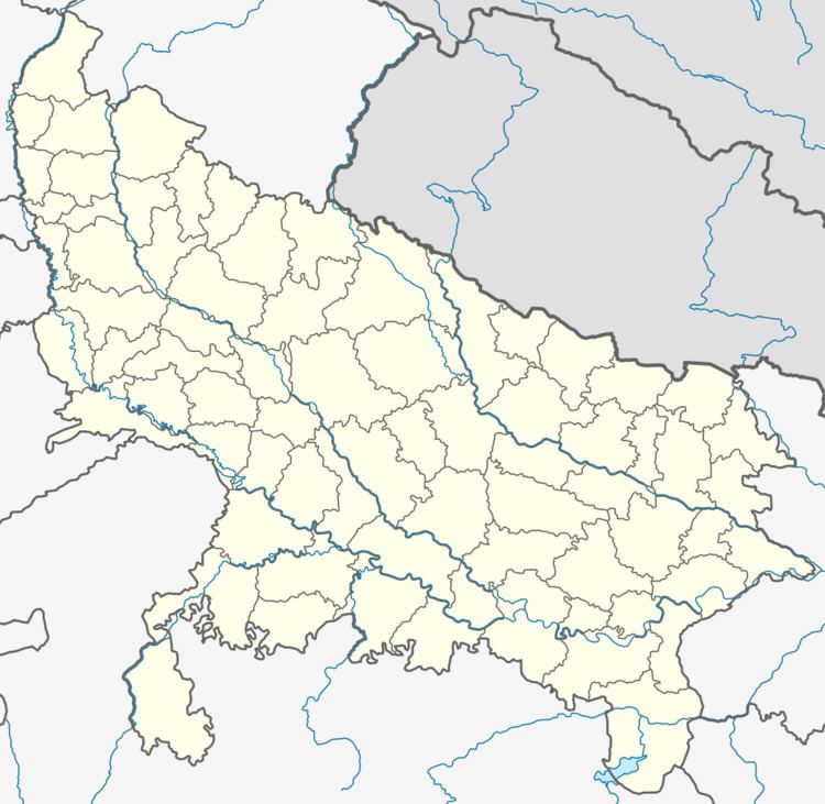
- Map of Gosainganj Uttar Pradesh 226501
- Geography
- Demographics
- Roads
- Railway
- Air Transport
- Temple
- References
Map of Gosainganj, Uttar Pradesh 226501
Geography
Gosainganj is located at 26.77°N 81.12°E / 26.77; 81.12. It has an average elevation of 113 meters (374 feet). Gosaiganj is located 20 km from Lucknow city on Lucknow to Sultanpur Highway (NH-56) and about 22 km from Lucknow Charbagh Railway Station.
Demographics
As of 2011 India census, Gosainganj had a population of 9,649. Males constitute 51% of the population and females 49%. Gosainganj has an average literacy rate of 62%, more than the national average of 59.5%: male literacy is 64%, and female literacy is 60%. In Gosainganj, 15% of the population is under 6 years of age.
Roads
Railway
Air Transport
Temple
References
Gosainganj, Lucknow Wikipedia(Text) CC BY-SA