
Country India District Kalimpong Lok Sabha constituency Darjeeling Area 442 km² | State West Bengal Time zone IST (UTC+5:30) Vidhan Sabha constituency Kalimpong Population 60,663 (2011) | |
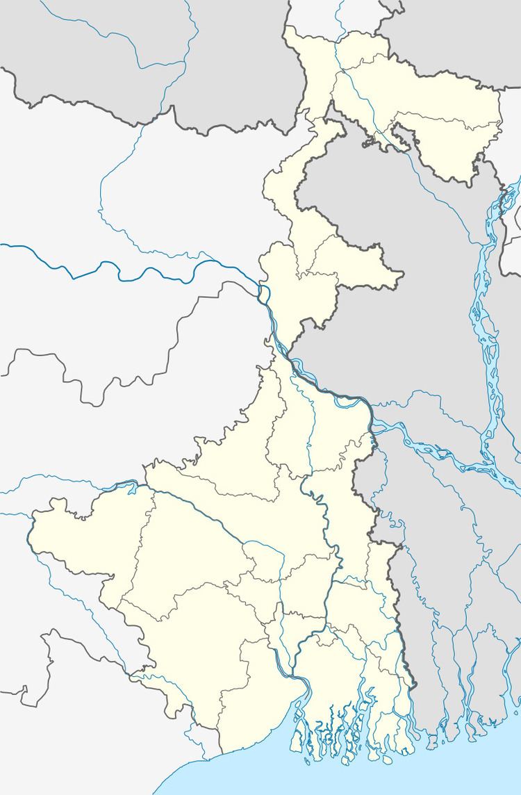 | ||
Gorubathan (community development block) is an administrative division of Kalimpong district in the Indian state of West Bengal. Gorubathan and Jaldhaka police stations serve this block. Headquarters of this block is at Fagu.
Contents
Geography
Gorubathan is located at 26°58′N 88°41′E. Gorubathan community development block has an area of 441.97 km2.
Gorubathan block consists of rural areas only with 11 gram panchayats, viz. Dalim, Gorubathan–I, Gorubathan–II, Patengodak, Todey Tangta, Kumai, Pokhreybong, Samsing, Aahaley, Nim and Rongo.
Demographics
As per 2011 Census of India Gorubathan CD Block had a total population of 60,663, all of which were rural. There were 31,054 males and 36,996 females. Scheduled Castes numbered 4,027 and Scheduled Tribes numbered 14,315.
Literacy
As per 2011 census the total number of literates in Gorubathan CD Block was 41,687 out of which 23,324 were males and 18,363 were females.