
Location South East Asia Provinces Maluku Islands Manawoka Island | Total islands 3 Population 27285 (2010) Province Maluku | |
 | ||
Major islands Gorom, Panjang and Manawoka | ||
Yf1ar 8 yb0ai 8 gorong archipelago watubela archipelago
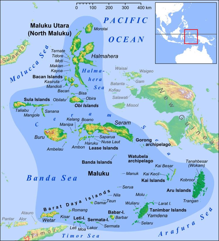
Gorong archipelago is a group of islands between Watubela archipelago and Ceram in the Maluku Islands.
Contents
- Yf1ar 8 yb0ai 8 gorong archipelago watubela archipelago
- Map of Gorong archipelago Kilkoda Gorom Tim East Seram Bagian Regency Maluku Indonesia
- History
- Islands
- References
Map of Gorong archipelago, Kilkoda, Gorom Tim., East Seram Bagian Regency, Maluku, Indonesia
History
The Nagarakretagama, an Old Javanese eulogy to king Hayam Wuruk of Majapahit written in 1365, mentions "Gurun" amongst the tributary countries of the kingdom.
The English naturalist Alfred Russel Wallace described the islands, which he called Goram, in chapter 25 of his 1869 book The Malay Archipelago.
Islands
The archipelago has three islands.
References
Gorong archipelago Wikipedia(Text) CC BY-SA