
Population 1,381 (2002) | Time zone CET (UTC+1) Local time Friday 8:24 AM | |
 | ||
Weather 7°C, Wind N at 2 km/h, 58% Humidity | ||
Gornji Tavankut is a village located in the Subotica municipality, in the North Bačka District of Serbia. It is situated in the autonomous province of Vojvodina. The village is ethnically mixed and its population numbering 1,381 people (2002 census).
Contents
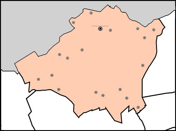
Map of Gornji Tavankut, Serbia
Name
In Serbian the village is known as Gornji Tavankut or Горњи Таванкут, in Croatian as Gornji Tavankut, in Bunjevac as Gornji Tavankut, and in Hungarian as Felsőtavankút.
1991 census
2002 census
Historical population
Geography
The village consists of several relatively distinct areas ('kraj'), such as Skenderovo, Vuković kraj, Partizan, Rata.
References
Gornji Tavankut Wikipedia(Text) CC BY-SA