
Time zone Eastern (EST) (UTC-5) Area 3.25 km² Local time Friday 2:27 AM | Elevation 2,320 ft (710 m) FIPS code 24-34150 Population 106 (2010) | |
 | ||
Weather -5°C, Wind W at 14 km/h, 67% Humidity | ||
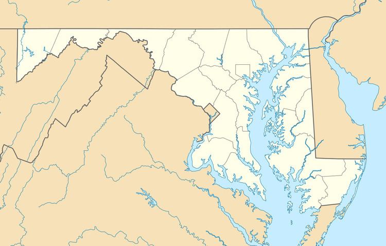
Gorman is an unincorporated community and census-designated place (CDP) along the North Branch Potomac River in southern Garrett County, Maryland, United States. As of the 2010 census, Gorman's population was 106. Gorman lies on Gorman Road (Maryland Route 560) off the Northwestern Turnpike (U.S. Route 50), which crosses the North Branch into Gormania, West Virginia, via Gormania Bridge. Like Gormania, the town is named for United States Senator from Maryland, Arthur Pue Gorman (March 11, 1839 – June 4, 1906).
Map of Gorman, 8, Red House, MD 21550, USA
References
Gorman, Maryland Wikipedia(Text) CC BY-SA