 | ||
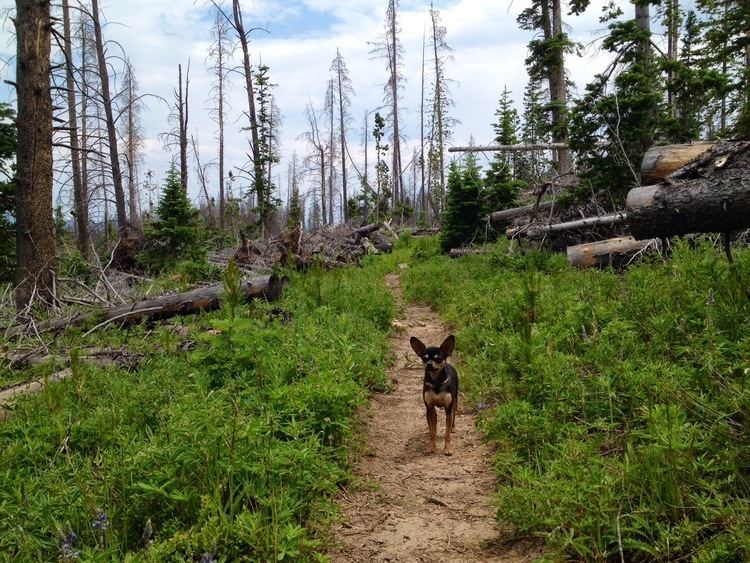
Gore range trail run 7 25 13
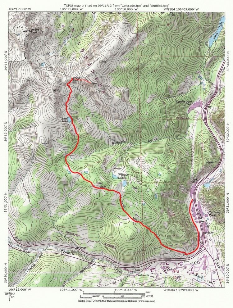
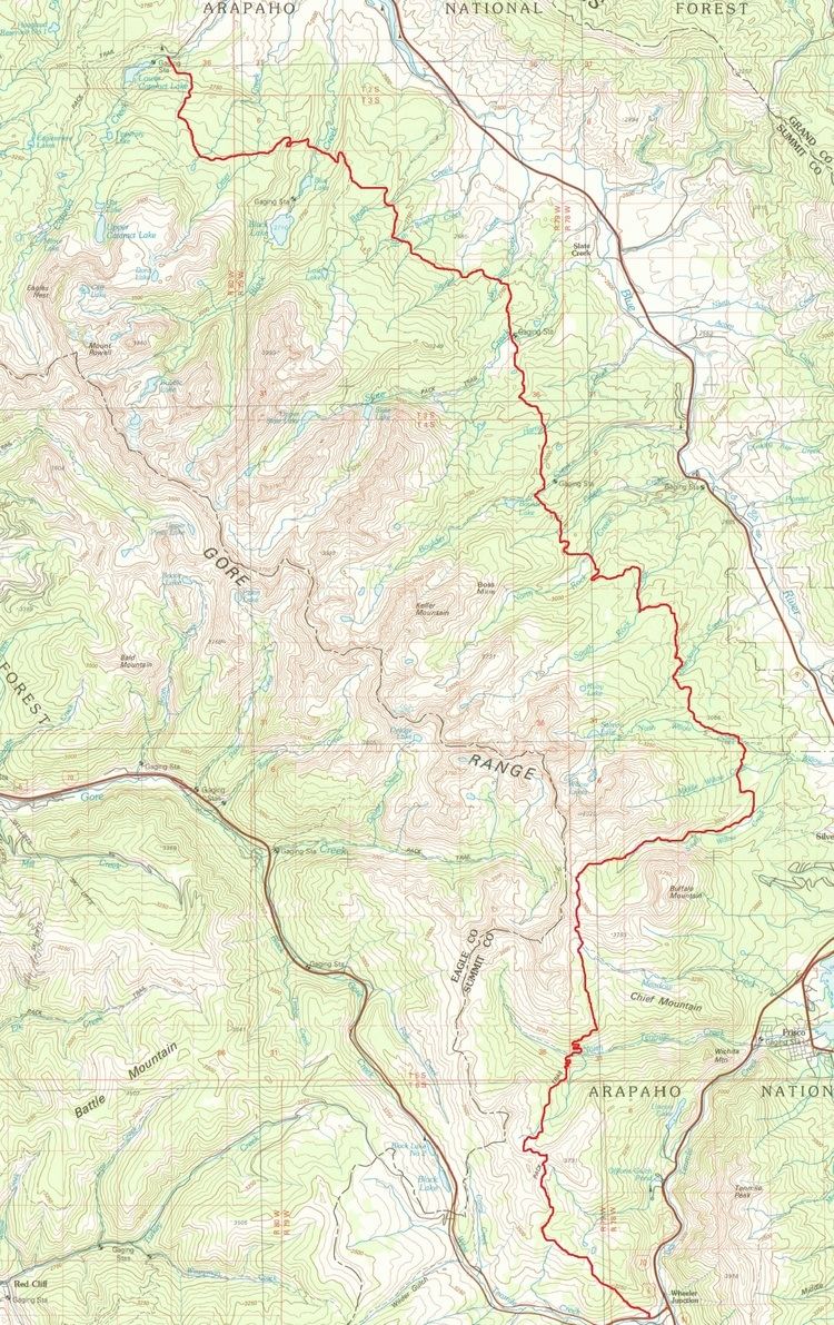
Gore Range Trail is in the Gore Range, part of the Rocky Mountains in the U.S. state of Colorado. It is located in the Eagles Nest Wilderness, Summit County. Buffalo Mountain Trail is north of Interstate 70, west of Highway 9, in Silverthorne. The Gore Range Trail passes 54 miles (87 km) from Copper Mountain at Wheeler Lakes Trail to the junction of Eaglesmere Lakes Trail, from the southern to northern boundary of Eagles Nest Wilderness.
Contents
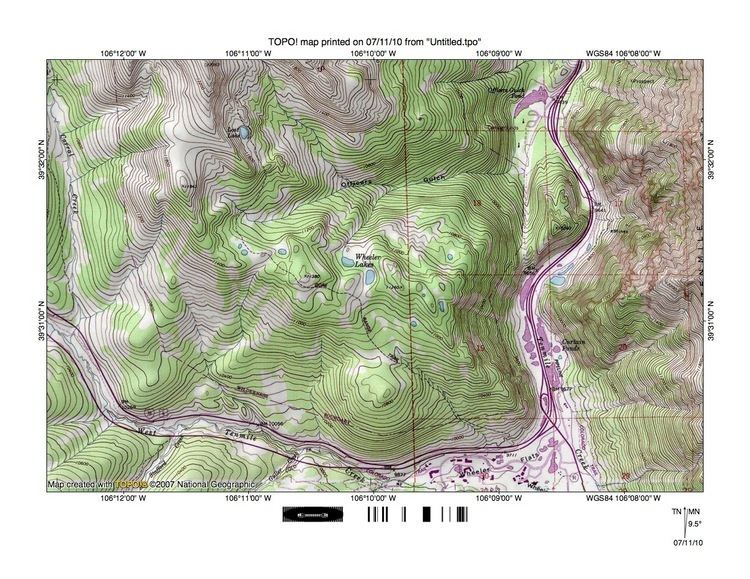
The Gore Range Trail is named in honor of Sir Gore, 1811–1878, a European nobleman who hired Jim Bridger to lead him on a hunting expedition through the Rocky Mountains during 1854 to 1857. The trail begins at Wheeler Flats, 9,723 feet (2,964 m), with its highest point at Red Buffalo Pass, 11,742 feet (3,579 m) in elevation.
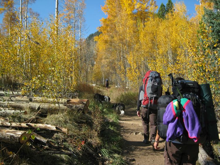
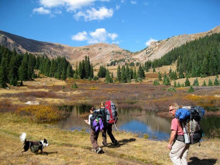
Gore range trail near eccles pass with jim and newt