
Telephone code 91 343 Elevation 7 m | Time zone IST (UTC+5:30) Population 6,480 (2001) | |
 | ||
Weather 22°C, Wind S at 8 km/h, 79% Humidity | ||
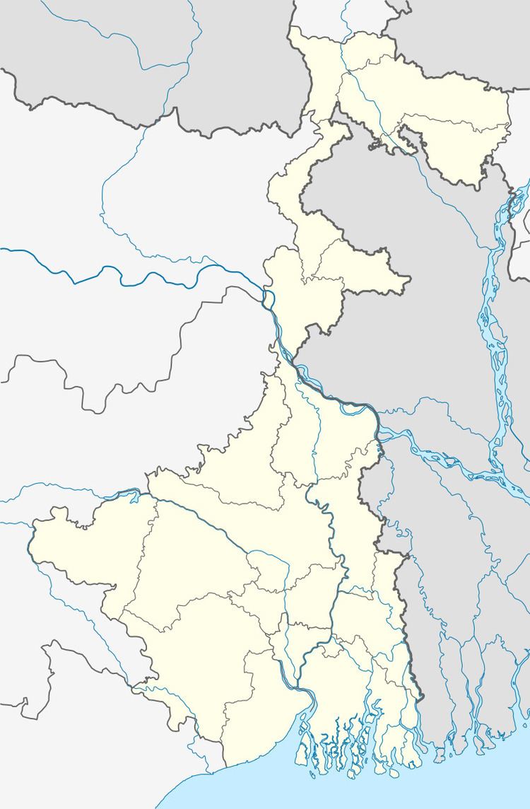
Gopalpur is a census town under Ranaghat police station of Ranaghat subdivision in Nadia district in the Indian state of West Bengal.
Contents
Geography
Nadia district is mostly alluvial plains lying to the east of Hooghly River, locally known as Bhagirathi. The alluvial plains are cut across by such distributaries as Jalangi, Churni and Ichhamati. With these rivers getting silted up, floods are a recurring feature.
Demographics
As of 2001 India census, Gopalpur had a population of 6,480. Males constitute 51% of the population and females 49%. Gopalpur has an average literacy rate of 81%, higher than the national average of 59.5%: male literacy is 85%, and female literacy is 77%. In Gopalpur, 9% of the population is under 6 years of age.
References
Gopalpur, Nadia Wikipedia(Text) CC BY-SA