
Country State | Languages spoken District Gopalganj | |
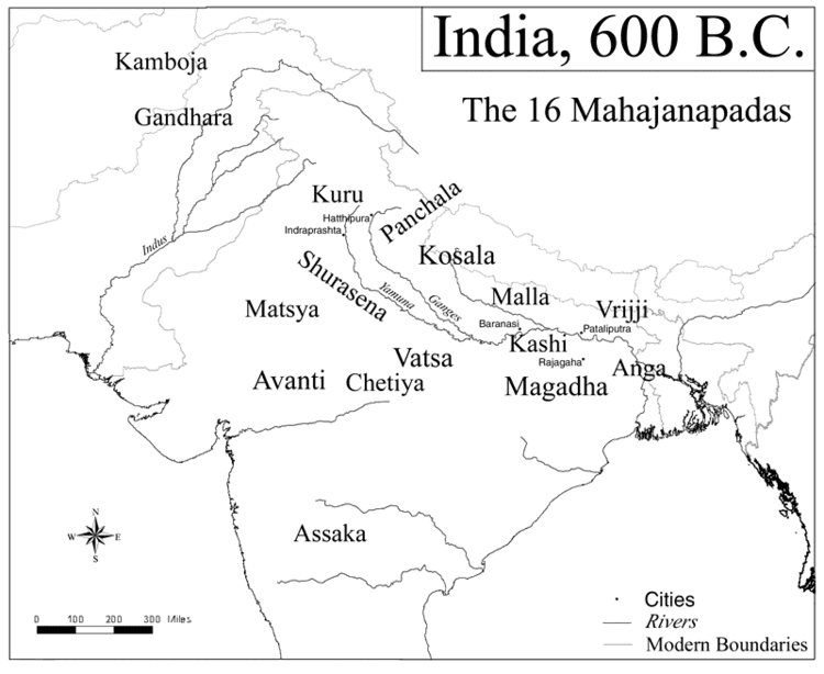 | ||
Map of Gopalganj, Bihar
Gopalganj is a town, municipality and headquarters of Gopalganj district in the Indian state of Bihar. Modern District of Gopalganj was established on October 2, 1973..
Contents
- Map of Gopalganj Bihar
- Thave dham yatra gopalganj siwan bihar
- Gopalganj bihar
- Geography
- Demographics
- Temples
- References
Thave dham yatra gopalganj siwan bihar
Gopalganj bihar
Geography
Gopalganj district covers 2,033 square kilometres (785 sq mi) in area and ranks as the 26th largest district in the state of Bihar. The district is mostly plains and fertile land. In the district's western part, the Gandak river flows southwards. It is located at 26.47°N 84.43°E / 26.47; 84.43, at an average elevation of 66 metres (217 ft).
Demographics
As of 2001 India census, Gopalganj had a population of 54,418.
Temples
Thawe Mandir, an ancient temple, is situated in Gopalganj district.
References
Gopalganj, Bihar Wikipedia(Text) CC BY-SA