
Population 287 (2006 census) LGA(s) Banana Shire Council Postal code 4702 Federal division Division of Flynn | Postcode(s) 4702 State electorate(s) Callide Local time Friday 12:11 PM | |
 | ||
Location 660 km (410 mi) NNW of Brisbane
121 km (75 mi) SW of Rockhampton
52 km (32 mi) NW of Biloela Weather 32°C, Wind SW at 8 km/h, 52% Humidity | ||
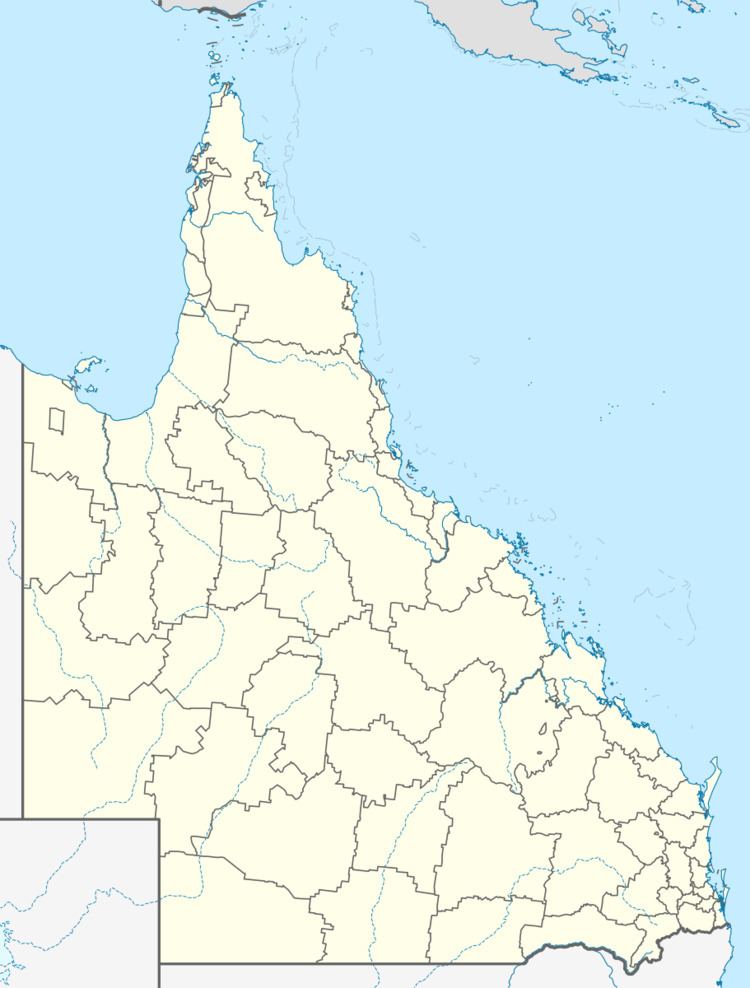
Goovigen is a town in central Queensland, Australia. It is in the Banana Shire local government area, 660 kilometres (410 mi) north west of the state capital, Brisbane. At the 2006 census, Goovigen and the surrounding area had a population of 287.
Contents
Map of Goovigen QLD 4702, Australia
History
Goovigen was originally established as a supply depot for the railways and was named for the local Aboriginal word for box tree, a species of Eucalyptus.
Goovigen Post Office opened on 1 July 1927 (a receiving office had been open from 1925).
Economy
The town now supports the surrounding agricultural district mainly producing cotton, cattle and grain.
References
Goovigen Wikipedia(Text) CC BY-SA