
Country Philippines Barangays ZIP code 3513 Local time Friday 3:51 AM | District 1st District Time zone PST (UTC+8) Area 567.4 km² Province Cagayan | |
 | ||
Region Cagayan Valley (Region II) Weather 23°C, Wind SE at 5 km/h, 85% Humidity Neighborhoods Bawa, Barangay Paradise, Cabiraoan | ||
Cagua volcano gonzaga cagayan valley philippines
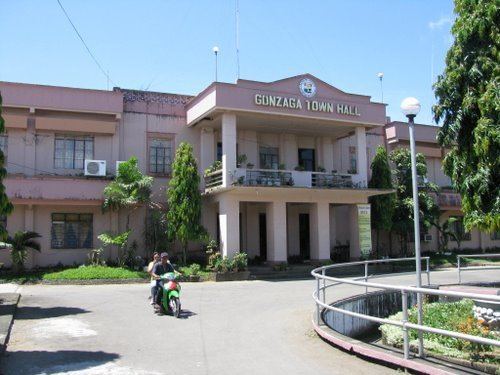
Gonzaga is a first class municipality in the province of Cagayan, Philippines. According to the 2015 census, it has a population of 38,892 people.
Contents
- Cagua volcano gonzaga cagayan valley philippines
- Map of Gonzaga Cagayan Philippines
- Overview of cagua volcano gonzaga cagayan province
- Geography
- Barangays
- History
- Demographics
- Economy
- List of former mayors
- Notable natives of Gonzaga
- References
Map of Gonzaga, Cagayan, Philippines
The 2012 film The Mistress, starring John Lloyd Cruz and Bea Alonzo, was partly shot in the town.
Overview of cagua volcano gonzaga cagayan province
Geography
Gonzaga is located at the north-eastern tip of the province of Cagayan, bordered by the municipality of Santa Ana to the north-east, the municipality of Santa Teresita to the west, and the municipality of Lal-lo to the south. It is approximately 45 kilometres (28 mi) from Aparri, the nearest commercial center, 125 kilometres (78 mi) from the provincial capital of Tuguegarao City, and 607 kilometres (377 mi) from Manila.
Gonzaga has a total land area of 56,743 hectares (140,220 acres), the majority of which remains undeveloped. It has large stretches of virgin forests, especially throughout the mountainous areas of the Sierra Madre mountain range. The highest elevation in the municipality is 1,130 metres (3,710 ft) above sea level, located at Mount Cagua in Barangay Magrafil.
The majority of the municipality's 40 kilometres (25 mi) coastline is mostly along the Babuyan Channel to the north, although it is also bounded by the Pacific Ocean to the southeast. The eleven coastal barangays contain a total of 139 hectares (340 acres) of beaches, 69 hectares (170 acres) of mangrove forests, and 348 hectares (860 acres) of coral reefs.
Barangays
Gonzaga is politically subdivided into 25 Barangays, including four urban barangays which constitute the Poblacion area.
History
The original inhabitants of Gonzaga were Negritos, especially members of Aeta tribes. The first recorded name of the area was Gampao, an Aeta word meaning 'mountainous,' later changed to Wangag, ('river'). In the eighteenth century, groups of Ilocano-speaking immigrants arrived in several waves by sea and land, gradually displacing the Aeta in the lowland areas.
Wangag was given ecclesiastical recognition on 23 February 1869, as a barrio of the Municipality of Buguey. In 1917 it was renamed Rumang-ay (Ilocano for 'to be progressive'). The following year, it was renamed after the first Filipino Governor of Cagayan, Gracio P. Gonzaga. The town was officially partitioned from Buguey on 1 January 1918 via Executive Order of Governor-General Francis Burton Harrison.
Demographics
In the 2015 census, the population of Gonzaga, Cagayan, was 38,892 people, with a density of 69 inhabitants per square kilometre or 180 inhabitants per square mile.
Economy
Gonzaga is primarily an agricultural municipality, with more than half of the workforce employed primarily as either farmers or fishers. Approximately 5,500 hectares (14,000 acres) of agricultural land are currently under production, the majority of which are dedicated to rice farming.
List of former mayors
Rene Salvanera 2014-2016