
Car plates CGD Population 45,060 (2006) | Seat Golub-Dobrzyń Area 613 km² Capital Golub-Dobrzyń | |
 | ||
Gminas Total 6 (incl. 1 urban)Golub-DobrzyńGmina CiechocinGmina Golub-DobrzyńGmina Kowalewo PomorskieGmina RadominGmina Zbójno Voivodeship Kuyavian-Pomeranian Voivodeship | ||
Golub-Dobrzyń County (Polish: powiat golubsko-dobrzyński) is a unit of territorial administration and local government (powiat) in Kuyavian-Pomeranian Voivodeship, north-central Poland. It came into being on January 1, 1999, as a result of the Polish local government reforms passed in 1998. Its administrative seat and largest town is the town of Golub-Dobrzyń, which lies 30 km (19 mi) east of Toruń and 71 km (44 mi) east of Bydgoszcz. The only other town in the county is Kowalewo Pomorskie, lying 13 km (8 mi) north-west of Golub-Dobrzyń.
Contents
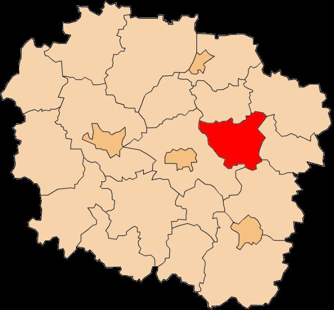
Map of Golub-Dobrzy%C5%84 County, Poland
The county covers an area of 612.98 square kilometres (236.7 sq mi). As of 2006 its total population is 45,060, out of which the population of Golub-Dobrzyń is 13,006, that of Kowalewo Pomorskie is 4,055, and the rural population is 27,999.
Neighbouring counties
Golub-Dobrzyń County is bordered by Wąbrzeźno County to the north, Brodnica County to the north-east, Rypin County to the east, Lipno County to the south and Toruń County to the west.
Administrative division
The county is subdivided into six gminas (one urban, one urban-rural and four rural). These are listed in the following table, in descending order of population.